Loading...
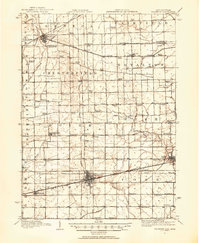
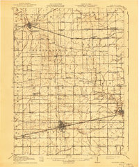
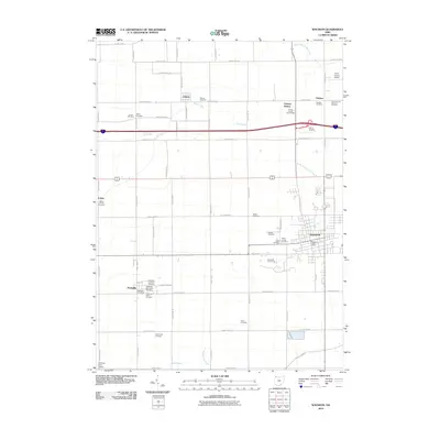
Loading map...1911 Map of Wauseon
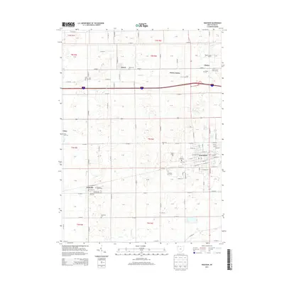
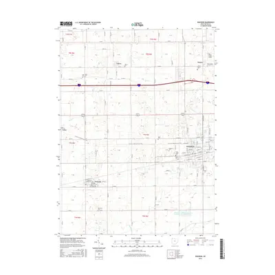
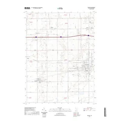
USGS Topo · Published 1954About this map
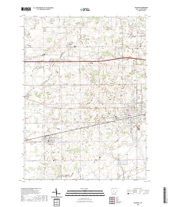
Wauseon serves as the focal point of this 1911 survey, showing the intricate intersection of the Wabash RR and the Lake Shore and Michigan Southern RR that drove regional commerce. The landscape is a dense network of early 20th-century rural infrastructure, characterized by a staggering number of numbered and named school districts such as the uniquely titled Swamp Angel School and Ranger School.
Find a feature on this map
88 named features on this map. Tap any name to fly to it.
Don’t see what you’re looking for? This feature index may not catch every label — zoom into the map to look around manually.
Map Details
Date Portrayed1911
Date Published1954
PublisherU.S. Geological Survey
Map TypeTopographic
Scale1:62,500
Physical Dimensions17.1 x 20.8 inches
Editions of this 1911 Wauseon Map
This is the sole edition of this map. No revisions or reprints were ever made.
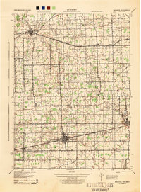
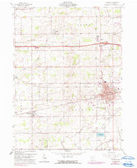
Historical Maps of Wauseon Through Time
9 maps found
Featured Locations
Source Details
SourceU.S. Geological Survey
CopyrightPublic Domain