Loading...
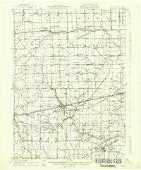
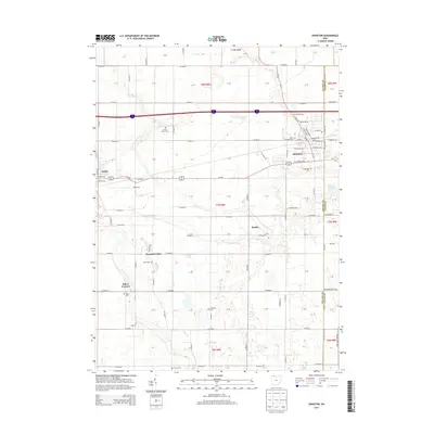
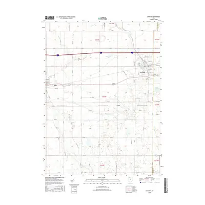
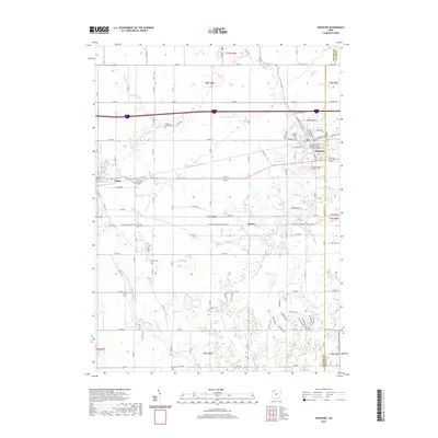
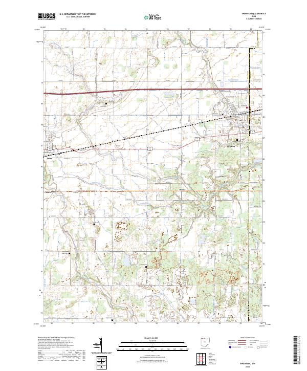
Loading map...1914 Map of Swanton
USGS Topo · Published 1937About this map
Swanton and its surrounding townships in Ohio and Michigan appear here during a period of significant railway development and rural school expansion. The landscape is defined by a dense network of transit lines, including the Ohio Electric Ry, the Wabash RR, and the Toledo and Western RR, which facilitated movement across the state line. These rails connect agricultural hubs like Metamora and Whitehouse with smaller junction points such as Allen Junc and Smith Siding.
Find a feature on this map
94 named features on this map. Tap any name to fly to it.
Don’t see what you’re looking for? This feature index may not catch every label — zoom into the map to look around manually.
Map Details
Date Portrayed1914
Date Published1937
PublisherU.S. Geological Survey
Map TypeTopographic
Scale1:62,500
Physical Dimensions16.5 x 19.9 inches
Editions of this 1914 Swanton Map
This is the sole edition of this map. No revisions or reprints were ever made.
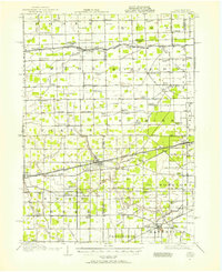
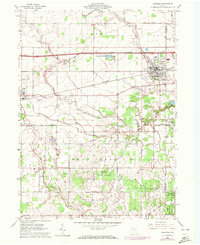
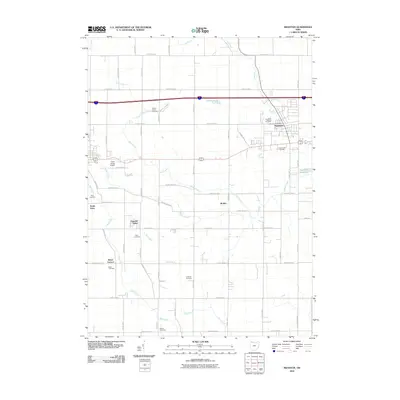
Historical Maps of Waterville Through Time
8 maps found
Featured Locations
Source Details
SourceU.S. Geological Survey
CopyrightPublic Domain