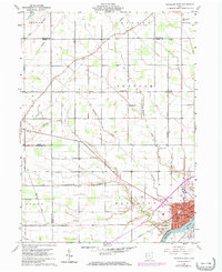
1959 Map of Napoleon West
USGS Topo · Published 1972About this map
Napoleon serves as the focal point of this Northwest Ohio survey, situated along the northern bank of the Maumee River. The landscape reveals a classic agrarian grid punctuated by small rural crossroads like Gerald and Naomi, where family life centered around institutions such as St Johns Ch and St Lukes Sch. This 1950s documentation shows the community just before significant mid-century highway expansion, noting the corridor for the Norfolk and Western railway and several essential local utilities including a Filter Plant and Telephone Tower. For genealogists, the map is particularly useful for locating numerous small burial grounds like Freedom Cem, Zion Cem, and Bremer Cem, which are scattered across the townships of German, Freedom, and Adams.
Find a feature on this map
47 named features on this map. Tap any name to fly to it.
Don’t see what you’re looking for? This feature index may not catch every label — zoom into the map to look around manually.
Map Details
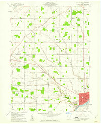
Editions of this 1959 Napoleon West Map
2 editions found
Other maps of this area

1907 · Defiance
USGS Topo · 1:62,500

1908 · Napoleon
USGS Topo · 1:62,500

1909 · Defiance
USGS Topo · 1:62,500

1911 · Wauseon
USGS Topo · 1:62,500

1913 · Wauseon
USGS Topo · 1:62,500

1913 · Alvordton
USGS Topo · 1:62,500

1943 · Wauseon
USGS Topo · 1:62,500

1944 · Alvordton
USGS Topo · 1:62,500

1953 · Fort Wayne
USGS Topo · 1:250,000

1956 · Fort Wayne
USGS Topo · 1:250,000