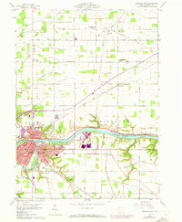
1959 Map of Defiance East
USGS Topo · Published 1972About this map
The Maumee River and Auglaize River converge in this 1959 portrait of Northwestern Ohio, anchoring a landscape where river transport once dictated the local economy. In Defiance, the presence of Old Fort Defiance Park and Defiance College highlights the city's historical and educational foundations. The waterway remains central to the area's geography, even as the Miami and Erie Canal (Abandoned) marks the shift from nineteenth-century towpaths to the rail corridors of the Baltimore and Ohio Railroad.
Find a feature on this map
77 named features on this map. Tap any name to fly to it.
Don’t see what you’re looking for? This feature index may not catch every label — zoom into the map to look around manually.
Map Details
Editions of this 1959 Defiance East Map
3 editions found
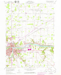
Other maps of this area

1907 · Defiance
USGS Topo · 1:62,500

1908 · Ottawa
USGS Topo · 1:62,500

1908 · Napoleon
USGS Topo · 1:62,500

1909 · Defiance
USGS Topo · 1:62,500

1909 · Continental
USGS Topo · 1:62,500

1953 · Fort Wayne
USGS Topo · 1:250,000

1956 · Fort Wayne
USGS Topo · 1:250,000

1959 · Defiance East
USGS Topo · 1:24,000
1959 · Ridgeville Corners
USGS Topo · 1:24,000

1959 · Florida
USGS Topo · 1:24,000