
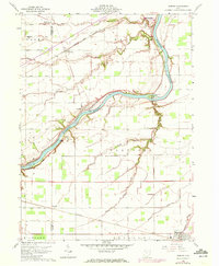
1959 Map of Florida
USGS Topo · Published 1961About this map
The Maumee River cuts a wide path through this Northwest Ohio landscape, serving as the historical spine for the region's early transport. Along its northern banks, the Miami and Erie Canal (Abandoned) remains a visible scar on the terrain, paralleling the river's course past Girty Island. This 1959 survey reveals an agrarian society organized by the rigid section lines of the Adams, Napoleon, and Richland townships.
Find a feature on this map
40 named features on this map. Tap any name to fly to it.
Don’t see what you’re looking for? This feature index may not catch every label — zoom into the map to look around manually.
Map Details
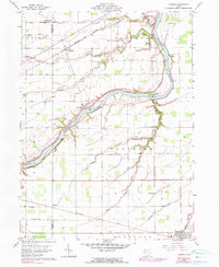
Editions of this 1959 Florida Map
3 editions found
Other maps of this area

1907 · Defiance
USGS Topo · 1:62,500

1908 · Ottawa
USGS Topo · 1:62,500

1908 · Napoleon
USGS Topo · 1:62,500

1909 · Defiance
USGS Topo · 1:62,500

1909 · Continental
USGS Topo · 1:62,500

1953 · Fort Wayne
USGS Topo · 1:250,000

1956 · Fort Wayne
USGS Topo · 1:250,000

1959 · Defiance East
USGS Topo · 1:24,000
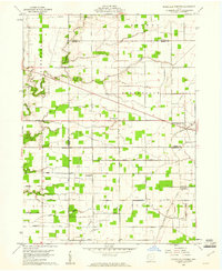
1959 · Ridgeville Corners
USGS Topo · 1:24,000
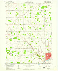
1959 · Napoleon West
USGS Topo · 1:24,000