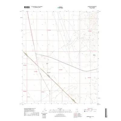
2018 Map of Juniper Mine
USGS Topo · Published 2018About this map
The Juniper Mine sits tucked within the high-relief terrain of the Newberry Mountains along the eastern edge of this desert landscape. This area is defined by the sharp convergence of the Mojave Desert and the Piute Valley, where the state line between Nevada and California meets the county boundary separating Clark and San Bernardino counties. The map illustrates a harsh environment where water sources like Juniper Spring were essential for survival and industry. Modern transportation corridors, including US Rte 95 and Highway 163, cut across the arid basins and around the Chiquita Hills, following the path of least resistance through the complex topography of the southern tip of Nevada.
Find a feature on this map
19 named features on this map. Tap any name to fly to it.
Don’t see what you’re looking for? This feature index may not catch every label — zoom into the map to look around manually.
Map Details
Editions of this 2018 Juniper Mine Map
This is the sole edition of this map. No revisions or reprints were ever made.
Other maps of this area

1886 · Camp Mohave
USGS Topo · 1:250,000

1892 · Camp Mohave
USGS Topo · 1:250,000

1926 · Mohave City
USGS Topo · 1:96,000

1942 · Camp Mohave
USGS Topo · 1:250,000

1947 · Kingman
USGS Topo · 1:250,000

1948 · Kingman
USGS Topo · 1:250,000

1950 · Davis Dam
USGS Topo · 1:62,500

1952 · Davis Dam
USGS Topo · 1:62,500

1954 · Kingman
USGS Topo · 1:250,000

1955 · Kingman
USGS Topo · 1:250,000