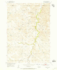
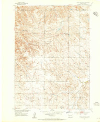
1954 Map of Kadoka NE
USGS Topo · Published 1955About this map
White Willow Creek meanders through the heart of this mid-century Dakota landscape, defining the local drainage patterns as it flows northward between Jewett and Kadoka. This 1954 field-checked survey reveals a rural territory where water management was essential to ranching and land use, evidenced by the strategic placement of several named impoundments including Neiderworder Dam, Hockel Dam, and Norton Dam. The terrain is deeply incised by a series of long drainage features like Butte Draw, Bushnell Draw, and Kerrington Draw, which feed into the primary creek system. The presence of Brady Sch near the center of the sheet highlights the sparse but organized social structure of this Haakon and Jackson County borderland during the postwar era. This document preserves the exact topography of the Missouri River Basin development program before modern agricultural shifts altered the local landscape footprint.
Find a feature on this map
16 named features on this map. Tap any name to fly to it.
Don’t see what you’re looking for? This feature index may not catch every label — zoom into the map to look around manually.
Map Details
Editions of this 1954 Kadoka NE Map
This is the sole edition of this map. No revisions or reprints were ever made.
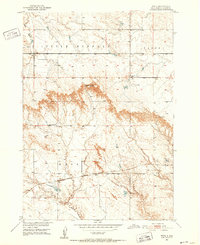
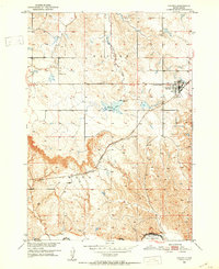
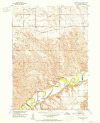
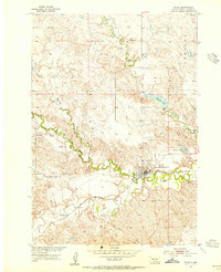
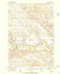
Other maps of this area
1950 · Weta
USGS Topo · 1:24,000
1951 · Kadoka
USGS Topo · 1:24,000
1951 · Belvidere SW
USGS Topo · 1:24,000
1953 · Philip Junction
USGS Topo · 1:24,000
1953 · Philip
USGS Topo · 1:24,000
1953 · Philip SE
USGS Topo · 1:24,000
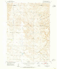
1954 · Belvidere NW
USGS Topo · 1:24,000

1954 · Powell
USGS Topo · 1:24,000

1954 · Pierre
USGS Topo · 1:250,000

1955 · Martin
USGS Topo · 1:250,000