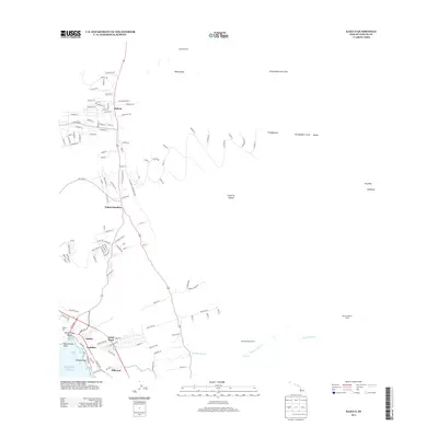
2013 Map of Kailua
USGS Topo · Published 2013About this map
The Kona coast of the Island of Hawai'i is documented here as it transitioned through the early twenty-first century, showing the modern residential expansion surrounding Kailua. The coastal activity centers on Kailua Pier and Kamakahonu Beach, while the interior landscape is defined by the massive Ka'ūpūlehu Lava Flow and volcanic features like Ka'ūpūlehu Crater. The map reveals a settlement pattern of distinct neighborhoods and communities, including Kalaoa to the north and the specialized Hōlualoa Makai Camp and Hōlualoa Mauka Camp to the south.
Find a feature on this map
132 named features on this map. Tap any name to fly to it.
Don’t see what you’re looking for? This feature index may not catch every label — zoom into the map to look around manually.
Map Details
Editions of this 2013 Kailua Map
This is the sole edition of this map. No revisions or reprints were ever made.
Other maps of this area

1928 · Puako
USGS Topo · 1:62,500

1928 · Kailua
USGS Topo · 1:62,500

1954 · Hawaii North
USGS Topo · 1:250,000

1959 · Hawaii North
USGS Topo · 1:250,000

1959 · Kiholo
USGS Topo · 1:24,000

1959 · Hualalai
USGS Topo · 1:24,000

1959 · Puu Lehua
USGS Topo · 1:24,000

1959 · Makalawena
USGS Topo · 1:24,000

1959 · Keahole Point
USGS Topo · 1:24,000
1959 · Puu Anahulu
USGS Topo · 1:24,000