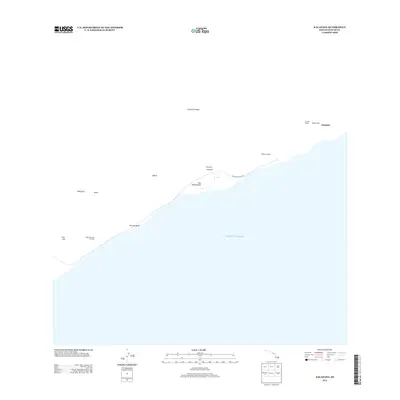
2013 Map of Kalapana
USGS Topo · Published 2013About this map
Ancient sacred sites and dramatic volcanic geology define this coastal section of the Island of Hawai'i. Several traditional temples are recorded along the shoreline, including Punaluu Heiau, Walaka Heiau, and Waha'ula Heiau, reflecting the deep indigenous history of the region. The landscape is dominated by steep coastal cliffs and volcanic features such as Hōlei Pali and Pu'u Loa, where the terrain meets the Pacific Ocean. Civil infrastructure is represented by the Chain of Craters Rd, which traverses this active environment near the settlement area of Kapaahu. The inclusion of the Hōlei Sea Arch Overlook and landmarks like Puu Manawalea provides a clear view of the relationship between the island's rising landforms and the sea during the early 21st century.
Find a feature on this map
16 named features on this map. Tap any name to fly to it.
Don’t see what you’re looking for? This feature index may not catch every label — zoom into the map to look around manually.
Map Details
Editions of this 2013 Kalapana Map
This is the sole edition of this map. No revisions or reprints were ever made.
Other maps of this area

1922 · Puna
USGS Topo · 1:62,500

1924 · Puna
USGS Topo · 1:62,500

1924 · Kalapana
USGS Topo · 1:62,500

1954 · Hawaii South
USGS Topo · 1:250,000

1959 · Hawaii South
USGS Topo · 1:250,000

1961 · Hawaii South
USGS Topo · 1:250,000

1962 · Hawaii South
USGS Topo · 1:250,000
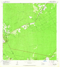
1963 · Volcano
USGS Topo · 1:24,000
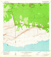
1963 · Makaopuhi Crater
USGS Topo · 1:24,000
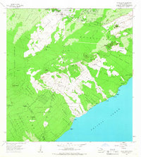
1966 · Pahoa South
USGS Topo · 1:24,000