
1952 Map of Kamalo
USGS Topo · Published 1954About this map
The southern coast of Molokai in the early 1950s is defined by a dense concentration of cultural landmarks near Ualapue and Kaluaaha. Here, several ancient stone structures, including Hokukano Heiau and Kaluakapiho Heiau, stand near the shoreline, marking significant historical sites. To the north, the terrain rises sharply toward the Molokai Forest Reserve, dominated by the high peak of Kamakou and the precipitous Kapapa Pali. This period of mapping records the transition from active coastal settlements to inland wilderness, noting former village locations such as Pelekunu (Site) and Wailau (Site) on the northern coast. These sites, situated at the mouths of deep valleys like Pelekunu Bay and Wailau Bay, illustrate the historical isolation of the island's northern cliffs, where the Hukoo PO served the more accessible southern population center.
Find a feature on this map
114 named features on this map. Tap any name to fly to it.
Don’t see what you’re looking for? This feature index may not catch every label — zoom into the map to look around manually.
Map Details
Editions of this 1952 Kamalo Map
This is the sole edition of this map. No revisions or reprints were ever made.
Other maps of this area

1952 · Halawa
USGS Topo · 1:24,000

1952 · Kaunakakai
USGS Topo · 1:24,000

1954 · Maui
USGS Topo · 1:250,000

1966 · Maui
USGS Topo · 1:250,000

1967 · Kaunakakai
USGS Topo · 1:24,000

1968 · Halawa
USGS Topo · 1:24,000
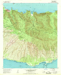
1968 · Kamalo
USGS Topo · 1:24,000

1974 · Maui
USGS Topo · 1:250,000
1983 · Molokai East
USGS Topo · 1:25,000
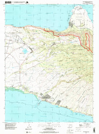
1993 · Kaunakakai
USGS Topo · 1:24,000