1993 Map of Kaunakakai
USGS Topo · Published 1999About this map
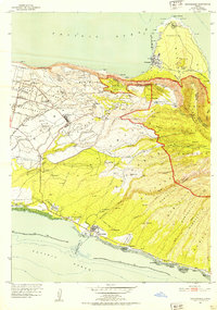
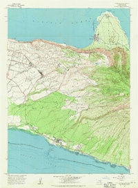
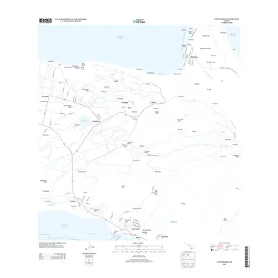
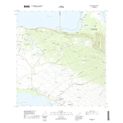
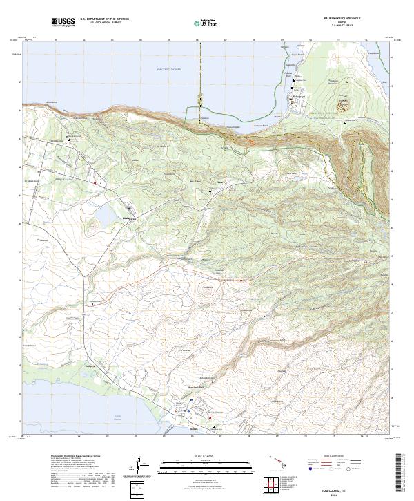
Kaunakakai Harbor and its nearby settlements define the southern coast of Molokai in this late-twentieth-century study. The area exhibits a distinct coastal development pattern, featuring several traditional Hawaiian fishponds such as Kalokoeli Fishpond and Alii Fishpond alongside the organized residential grids of Kaunakakai and the Kalanianaole Colony. The map provides a detailed view of the Kamehameha Coconut Grove near the shore and extends northward across the island's interior elevations to the isolated Kalaupapa Peninsula.
Find a feature on this map
112 named features on this map. Tap any name to fly to it.
Don’t see what you’re looking for? This feature index may not catch every label — zoom into the map to look around manually.
Map Details
Editions of this 1993 Kaunakakai Map
This is the sole edition of this map. No revisions or reprints were ever made.
Historical Maps of Kaunakakai Through Time
6 maps found