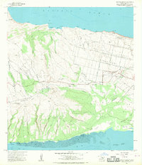
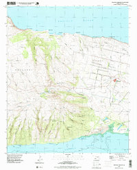
1968 Map of Molokai Airport
USGS Topo · Published 1969About this map
Hoolehua Homesteads define the northern agricultural landscape of this central Molokai region, where a structured grid of avenues like Farrington Ave and Pala Au Ave contrasts with the deep, irregular drainage of Manalo Gulch and Hauakea Gulch. The terrain rises from the Pacific Ocean coastline at Moomomi toward the volcanic heights of Kaluakoi and Mauna Loa, reaching landmarks such as Puu Nana. This 1960s revision captures the island’s aviation hub at Molokai Airport and the complex system of aqueducts and water tanks required to sustain this landscape. To the south, the shoreline transitions into mud flats and coral reefs near Kolo Wharf, while prominent cinder cones like Puu Holehua stand as markers above the gulches. The survey reflects a period of mid-century infrastructure, balancing homesteading tracts with the industrial needs of a pumping station and localized water management.
Find a feature on this map
73 named features on this map. Tap any name to fly to it.
Don’t see what you’re looking for? This feature index may not catch every label — zoom into the map to look around manually.
Map Details
Editions of this 1968 Molokai Airport Map
This is the sole edition of this map. No revisions or reprints were ever made.
Other maps of this area

1952 · Molokai Airport
USGS Topo · 1:24,000
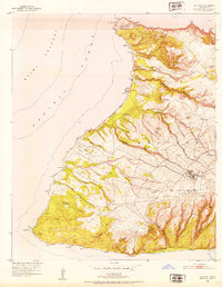
1952 · Ilio Point
USGS Topo · 1:24,000

1952 · Kaunakakai
USGS Topo · 1:24,000

1954 · Maui
USGS Topo · 1:250,000

1966 · Maui
USGS Topo · 1:250,000

1967 · Kaunakakai
USGS Topo · 1:24,000
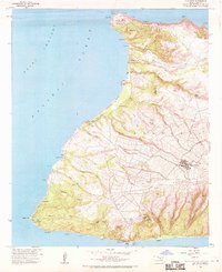
1968 · Ilio Point
USGS Topo · 1:24,000

1974 · Maui
USGS Topo · 1:250,000
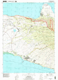
1993 · Kaunakakai
USGS Topo · 1:24,000
1993 · Molokai Airport
USGS Topo · 1:24,000