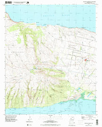
1993 Map of Molokai Airport
USGS Topo · Published 1999About this map
Molokai Airport sits at the heart of this central Molokai landscape, surrounded by the organized residential and agricultural grids of Hoolehua Homesteads and Palaau Homesteads. The map reveals a transition from the structured homesteading areas in the east to the high, gulch-cut terrain of Mauna Loa in the west. Small settlements like Mahana and Kukui are scattered along the slopes, while the northern coastline is defined by rugged points such as Paualaia Point and the sands of Moomomi. This 1993 planimetry also highlights a significant Naval Reservation adjacent to the airport, and coastal heritage features like the Pakanaka Fishpond near the Mud Flats to the south. An extensive network of gulches, including Kakaaukuu Gulch and Anahaki Gulch, drains the volcanic uplands toward the Pacific Ocean.
Find a feature on this map
65 named features on this map. Tap any name to fly to it.
Don’t see what you’re looking for? This feature index may not catch every label — zoom into the map to look around manually.
Map Details
Editions of this 1993 Molokai Airport Map
2 editions found

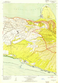
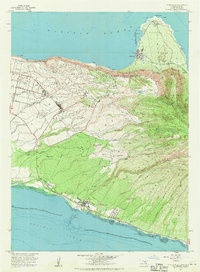
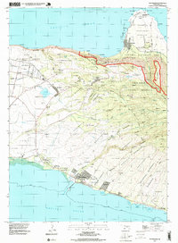
Other maps of this area

1952 · Molokai Airport
USGS Topo · 1:24,000

1952 · Ilio Point
USGS Topo · 1:24,000
1952 · Kaunakakai
USGS Topo · 1:24,000

1954 · Maui
USGS Topo · 1:250,000

1966 · Maui
USGS Topo · 1:250,000
1967 · Kaunakakai
USGS Topo · 1:24,000

1968 · Molokai Airport
USGS Topo · 1:24,000

1968 · Ilio Point
USGS Topo · 1:24,000

1974 · Maui
USGS Topo · 1:250,000
1993 · Kaunakakai
USGS Topo · 1:24,000