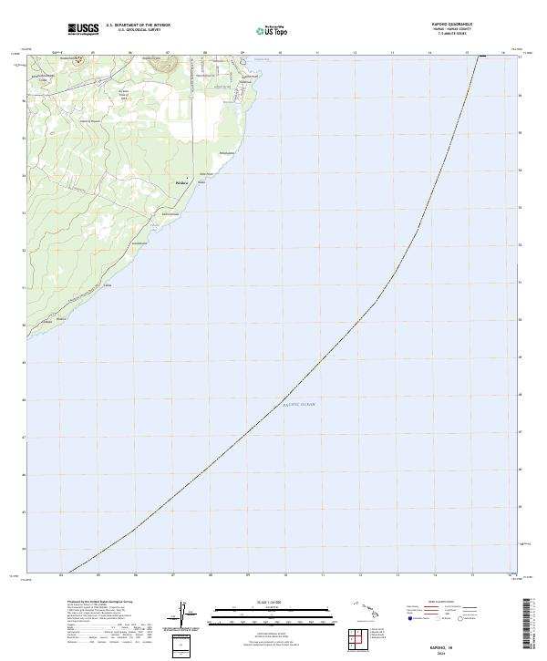
2024 Map of Kapoho
USGS Topo · Published 2024About this map
Kii Lava Flow of 1955 serves as a dominant marker on the Island of Hawai‘i coastline, illustrating the dynamic geological nature of this eastern tip of the Puna District. The terrain is defined by volcanic features such as Kapoho Crater and the deep indentations of Kahōluaokahawali Crater, while the coastal road network, including Kalapana Kapoho Beach Rd, connects various points of interest and small coastal areas like Waiopae and Pū‘āla‘a. The transition from the steep volcanic slopes to the Pacific Ocean is marked by prominent landmarks like Hala Point and Kapoho Point. This survey details the interface between recent volcanic activity and local coastal infrastructure, providing a modern view of the land before the more recent eruptions that reshaped the Puna coast after this data was initially gathered.
Find a feature on this map
31 named features on this map. Tap any name to fly to it.
Don’t see what you’re looking for? This feature index may not catch every label — zoom into the map to look around manually.
Map Details
Editions of this 2024 Kapoho Map
This is the sole edition of this map. No revisions or reprints were ever made.
Other maps of this area

1924 · Makuu
USGS Topo · 1:62,500

1924 · Kalapana
USGS Topo · 1:62,500

1954 · Hawaii South
USGS Topo · 1:250,000

1954 · Hawaii North
USGS Topo · 1:250,000

1959 · Hawaii South
USGS Topo · 1:250,000

1959 · Hawaii North
USGS Topo · 1:250,000

1961 · Hawaii North
USGS Topo · 1:250,000

1961 · Hawaii South
USGS Topo · 1:250,000

1962 · Hawaii South
USGS Topo · 1:250,000
1965 · Pahoa North
USGS Topo · 1:24,000