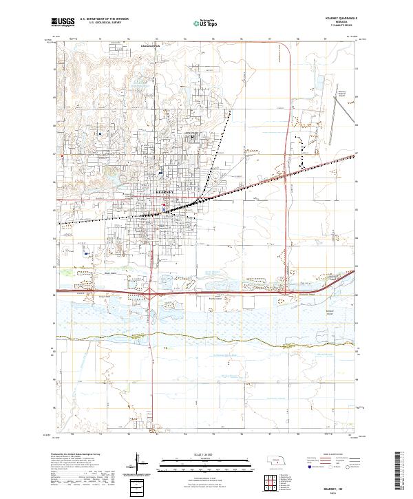
2021 Map of Kearney
USGS Topo · Published 2021About this map
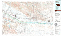
Kearney serves as the focal point of this Central Nebraska landscape, where the urban grid meets the complex hydrology of the river valley. The city is defined by significant institutional landmarks, including the University of Nebraska at Kearney and the Buffalo County Courthouse, situated near the historic commercial center. North of the city, the residential development of Glenwood Park and the waters of the Staubitz and Holmes Reservoir illustrate the area's expansion into the surrounding plains.
Find a feature on this map
90 named features on this map. Tap any name to fly to it.
Don’t see what you’re looking for? This feature index may not catch every label — zoom into the map to look around manually.
Map Details
Editions of this 2021 Kearney Map
This is the sole edition of this map. No revisions or reprints were ever made.
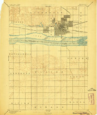
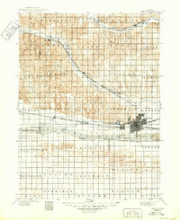
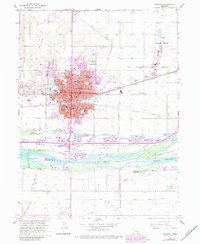
Historical Maps of Kearney Through Time
5 maps found
Featured Locations
- Kearney, NE
- East Lawn Mobile Home Estates, Kearney
- R-Villa Courts, Kearney
- Riverside Mobile Home Court, Kearney
- Valley View Trailer Court, Kearney