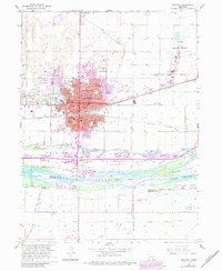
1962 Map of Kearney
USGS Topo · Published 1984About this map
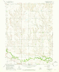
The braided channels of the Platte River dominate the southern landscape of this mid-century survey, creating a complex network of named landforms like Long Island, Evarts Island, and Killgore Island. The city of Kearney serves as a major regional hub, defined by the convergence of the Union Pacific and Burlington Northern railroads. This era of the city's development is marked by significant institutional growth, including the Teachers College and Good Samaritan Hospital.
Find a feature on this map
42 named features on this map. Tap any name to fly to it.
Don’t see what you’re looking for? This feature index may not catch every label — zoom into the map to look around manually.
Map Details
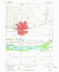
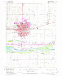
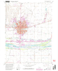
Editions of this 1962 Kearney Map
4 editions found
Other maps of this area

1894 · Kearney
USGS Topo · 1:62,500

1894 · Minden
USGS Topo · 1:62,500

1896 · Kearney
USGS Topo · 1:125,000

1896 · Wood River
USGS Topo · 1:125,000

1955 · Grand Island
USGS Topo · 1:250,000

1957 · Grand Island
USGS Topo · 1:250,000

1958 · Grand Island
USGS Topo · 1:250,000

1962 · Newark
USGS Topo · 1:24,000

1962 · Riverdale
USGS Topo · 1:24,000
1962 · Pleasanton SE
USGS Topo · 1:24,000
Featured Places
- Kearney, NE
- East Lawn Mobile Home Estates, Kearney
- Riverside Mobile Home Court, Kearney
- Valley View Trailer Court, Kearney
- R-Villa Courts, Kearney