
1962 Map of Riverdale
USGS Topo · Published 1964About this map
Wood River meanders through the central plains of Buffalo County, carving a verdant path through the agricultural landscape. The village of Riverdale serves as a local hub, situated where the Union Pacific railroad tracks parallel the river valley. This transport corridor was essential for the movement of grain and livestock from the surrounding townships of Grant Divide, Odessa, and Riverdale.
Find a feature on this map
13 named features on this map. Tap any name to fly to it.
Don’t see what you’re looking for? This feature index may not catch every label — zoom into the map to look around manually.
Map Details
Editions of this 1962 Riverdale Map
This is the sole edition of this map. No revisions or reprints were ever made.
Other maps of this area

1894 · Kearney
USGS Topo · 1:62,500

1896 · Kearney
USGS Topo · 1:125,000

1955 · Grand Island
USGS Topo · 1:250,000

1957 · Grand Island
USGS Topo · 1:250,000

1958 · Grand Island
USGS Topo · 1:250,000

1961 · Amherst
USGS Topo · 1:24,000

1962 · Elm Creek East
USGS Topo · 1:24,000
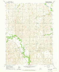
1962 · Miller NE
USGS Topo · 1:24,000
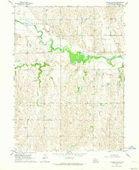
1962 · Pleasanton NW
USGS Topo · 1:24,000
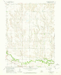
1962 · Pleasanton SE
USGS Topo · 1:24,000