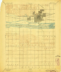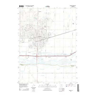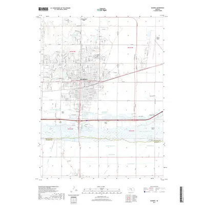
1985 Map of Kearney
USGS Topo · Published 1994About this map
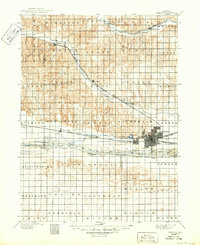
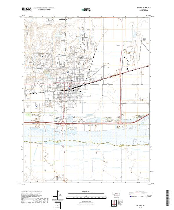
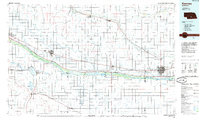
The Platte River valley dominates this mid-1980s landscape, serving as a corridor for major transport routes including the Union Pacific railroad and Interstate 80. The region is marked by an extensive network of irrigation and water management features, including the Gothenburg Canal, Dawson County Canal, and the large Johnson Lake. Settlements like Kearney, Lexington, and Cozad are positioned as key hubs along these central transit lines, while smaller communities such as Elm Creek, Overton, and Bertrand dot the surrounding agricultural plains. The topography reveals the complex river system with named islands like Danielson Island and Jeffreys Island and the diverging South Channel Platte River. Beyond the valley, the map shows the transition into more varied terrain like Buffalo Ridge and the South Loup River valley to the north, providing a comprehensive view of south-central Nebraska's hydrologic and rail-dependent development.
Find a feature on this map
58 named features on this map. Tap any name to fly to it.
Don’t see what you’re looking for? This feature index may not catch every label — zoom into the map to look around manually.
Map Details
Editions of this 1985 Kearney Map
2 editions found
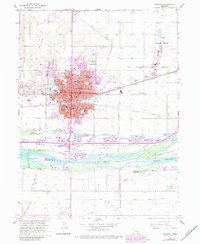
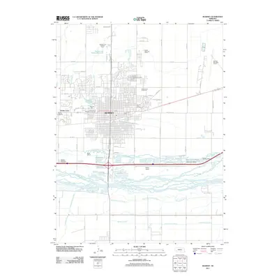
Historical Maps of Kearney Through Time
8 maps found