
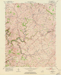
1952 Map of Keene
USGS Topo · Published 1953About this map
Keene and the surrounding Bluegrass countryside are defined by a network of winding waterways and rural crossroads in this early 1950s survey. The landscape is carved by Clear Creek and the East Fork, which meander through terrain marked by small farming settlements like Dixon Town and Troy. This era shows a community rooted in local institutions, evidenced by the presence of the Mt Pleasant Sch and several country places of worship.
Find a feature on this map
14 named features on this map. Tap any name to fly to it.
Don’t see what you’re looking for? This feature index may not catch every label — zoom into the map to look around manually.
Map Details
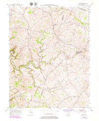
Editions of this 1952 Keene Map
3 editions found
Other maps of this area

1905 · Harrodsburg
USGS Topo · 1:125,000

1906 · Georgetown
USGS Topo · 1:62,500

1908 · Georgetown
USGS Topo · 1:62,500

1922 · Frankfort
USGS Topo · 1:48,000

1924 · Frankfort
USGS Topo · 1:62,500

1950 · Lexington West
USGS Topo · 1:24,000

1952 · Little Hickman
USGS Topo · 1:24,000

1952 · Nicholasville
USGS Topo · 1:24,000

1952 · Harrodsburg
USGS Topo · 1:24,000

1952 · Salvisa
USGS Topo · 1:24,000