2023 Map of Keller
USGS Topo · Published 2023About this map
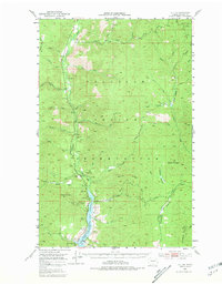
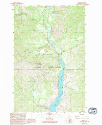
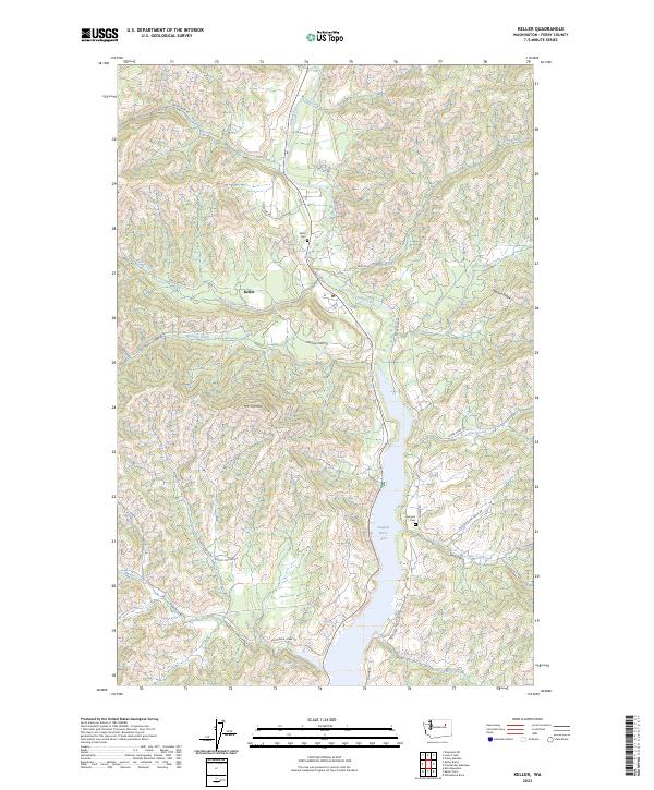
The Sanpoil River valley defines this region of the Colville Reservation, where the river widens significantly into the Sanpoil River Arm as it flows south toward the Columbia River. The settlement of Keller serves as a central hub, situated near the confluence of Jack Creek and the main river channel. This modern survey illustrates the complex geography of the area, ranging from the high elevations of Mt Tolman and Watson Ridge down to the water-level transitions of the river arm. Land use and heritage are marked by the presence of the Keller Cem and Sanpoil Cem, while a network of Bureau of Indian Affairs and local roads, such as Manila Creek Rd and Alice Creek Rd, provides access to the surrounding timberlands and tributaries. Small water bodies like French Johns Lake and numerous creeks including Silver Creek and Brush Creek suggest a landscape deeply tied to its hydraulic patterns and tribal land management.
Find a feature on this map
37 named features on this map. Tap any name to fly to it.
Don’t see what you’re looking for? This feature index may not catch every label — zoom into the map to look around manually.
Map Details
Editions of this 2023 Keller Map
This is the sole edition of this map. No revisions or reprints were ever made.