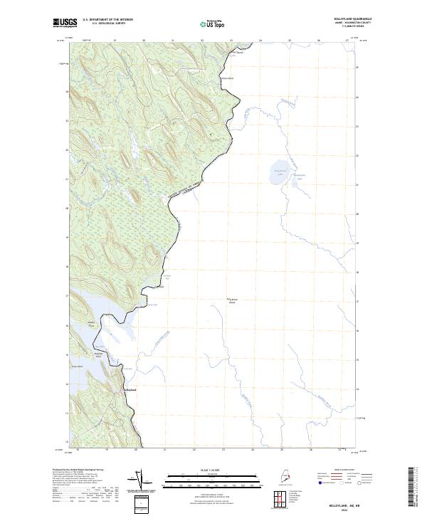
2024 Map of Kelleyland
USGS Topo · Published 2024About this map
Kelleyland sits along the western banks of the St Croix River, which serves as the international boundary between the United States and Canada. This 2024 survey documents the complex waterway system of the Maine interior, where the river descends through Dog Falls, Kendricks Rips, and Spednic Falls before reaching Grand Falls. The landscape is dominated by dense woodlands and a network of brooks such as Millberry Brook and Meadow Brook that feed into larger bodies like Big Lake and King Brook Lake.
Find a feature on this map
29 named features on this map. Tap any name to fly to it.
Don’t see what you’re looking for? This feature index may not catch every label — zoom into the map to look around manually.
Map Details
Editions of this 2024 Kelleyland Map
This is the sole edition of this map. No revisions or reprints were ever made.
Other maps of this area

1929 · Calais
USGS Topo · 1:48,000

1932 · Calais
USGS Topo · 1:62,500

1940 · Waite
USGS Topo · 1:62,500

1940 · Kellyland
USGS Topo · 1:62,500

1941 · Big Lake
USGS Topo · 1:62,500

1942 · Kellyland
USGS Topo · 1:62,500

1942 · Waite
USGS Topo · 1:62,500

1943 · Big Lake
USGS Topo · 1:62,500

1949 · Calais
USGS Topo · 1:24,000

1952 · Big Lake
USGS Topo · 1:50,000