
1949 Map of Calais
USGS Topo · Published 1952About this map
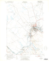
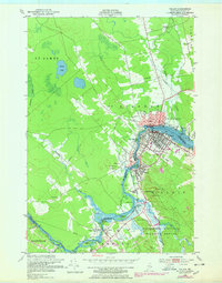
The St Croix River serves as the focal point of this international boundary area, separating the city of Calais, Maine, from St Stephen, New Brunswick. This mid-century survey reveals a landscape defined by the close relationship between the two nations, connected by bridges and shared water power at Union Mills and Milltown. The industrial and transportation patterns of the late 1940s are visible through the network of the Canadian Pacific and Maine Central railroads, which linked these river towns to broader markets. On the American side, the Moosehorn National Wildlife Refuge preserves the wooded terrain near Magurrewock Mtn. Significant local landmarks include the St Croix Golf Course, an Airfield in Baring, and several historic burying grounds such as Calais Cemetery, providing a detailed look at the region’s development prior to major modern infrastructure changes.
Find a feature on this map
45 named features on this map. Tap any name to fly to it.
Don’t see what you’re looking for? This feature index may not catch every label — zoom into the map to look around manually.
Map Details
Editions of this 1949 Calais Map
3 editions found
Other maps of this area

1929 · Calais
USGS Topo · 1:48,000

1929 · Robbinston
USGS Topo · 1:48,000

1931 · Robbinston
USGS Topo · 1:62,500

1932 · Calais
USGS Topo · 1:62,500

1940 · Kellyland
USGS Topo · 1:62,500

1942 · Kellyland
USGS Topo · 1:62,500

1949 · Red Beach
USGS Topo · 1:24,000

1949 · Devils Head
USGS Topo · 1:24,000
1954 · Calais
USGS Topo · 1:25,000

1957 · Fredericton
USGS Topo · 1:250,000