
1949 Map of Devils Head
USGS Topo · Published 1952About this map
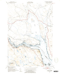
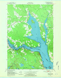
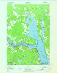
The St Croix River defines this international border landscape, where the tides of Oak Bay meet the rugged Maine and New Brunswick shorelines. This 1940s-era topography, derived from 1946 aerial photography and older hydrographic surveys, highlights the maritime and industrial heritage of the region. Notable landmarks like Whitlocks Mill and The Ledge sit along the winding riverbank, while the presence of Cribbing Ruins and a Mark Lighthouse near Plaister Pt indicate a history of river navigation and timber or lime processing. To the south, the protected lands of the Moosehorn National Wildlife Refuge surround Nashs Lake and Vose Pond, contrasting with the Canadian Pacific rail line that skirts the northern marshes. Family-named points like Eaton Pt and Pettegrove Pt suggest long-established maritime holdings along the estuary.
Find a feature on this map
52 named features on this map. Tap any name to fly to it.
Don’t see what you’re looking for? This feature index may not catch every label — zoom into the map to look around manually.
Map Details
Editions of this 1949 Devils Head Map
4 editions found
Other maps of this area

1929 · Calais
USGS Topo · 1:48,000

1929 · Robbinston
USGS Topo · 1:48,000

1931 · Robbinston
USGS Topo · 1:62,500

1932 · Calais
USGS Topo · 1:62,500

1940 · Kellyland
USGS Topo · 1:62,500

1942 · Kellyland
USGS Topo · 1:62,500

1949 · Robbinston
USGS Topo · 1:24,000

1949 · Calais
USGS Topo · 1:24,000

1949 · Red Beach
USGS Topo · 1:24,000
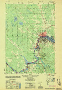
1954 · Calais
USGS Topo · 1:25,000