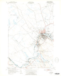
1949 Map of Calais
USGS Topo · Published 1952About this map
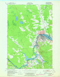
The St Croix River serves as the international boundary on this mid-century survey, dividing Calais, Maine, from its Canadian neighbor, St Stephen, New Brunswick. The landscape is defined by the industrial and transport infrastructure of the era, with the Maine Central and Canadian Pacific railroads weaving through the riverside settlements. In addition to the urban core of Calais, the map details the smaller communities of Milltown, Baring, and Upper Mills, revealing the dense network of rail sidings and telephone lines that supported the local economy. To the southeast, the Moosehorn National Wildlife Refuge and Magurrewock Mtn provide a stark contrast to the developed riverfront. Notable local landmarks like the St Croix Golf Course, an Airfield near Baring, and the Calais Cemetery offer valuable reference points for genealogists and local historians tracking the community's mid-century footprint.
Find a feature on this map
49 named features on this map. Tap any name to fly to it.
Don’t see what you’re looking for? This feature index may not catch every label — zoom into the map to look around manually.
Map Details
Editions of this 1949 Calais Map
3 editions found
Other maps of this area

1929 · Calais
USGS Topo · 1:48,000

1929 · Robbinston
USGS Topo · 1:48,000

1931 · Robbinston
USGS Topo · 1:62,500

1932 · Calais
USGS Topo · 1:62,500

1940 · Kellyland
USGS Topo · 1:62,500

1942 · Kellyland
USGS Topo · 1:62,500

1949 · Calais
USGS Topo · 1:24,000

1949 · Red Beach
USGS Topo · 1:24,000

1949 · Devils Head
USGS Topo · 1:24,000
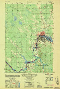
1954 · Calais
USGS Topo · 1:25,000