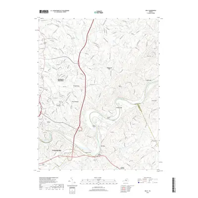
2019 Map of Kelly
USGS Topo · Published 2019About this map
The James River snakes through the heart of this region, forming the natural border between Amherst Co, Appomattox Co, and Campbell Co. The landscape is defined by the winding river valley and its major tributaries like Stovall Creek and Joshua Creek, where historic industry once thrived at Brightwell Mill and Galts Mill. Higher ground is marked by prominent peaks including Mt Athos and Galts Mill Mountain, while the river itself holds landforms such as Buzzard Islands and Feagans Island.
Find a feature on this map
176 named features on this map. Tap any name to fly to it.
Don’t see what you’re looking for? This feature index may not catch every label — zoom into the map to look around manually.
Map Details
Editions of this 2019 Kelly Map
This is the sole edition of this map. No revisions or reprints were ever made.
Other maps of this area

1892 · Lynchburg
USGS Topo · 1:125,000

1892 · Buckingham
USGS Topo · 1:125,000

1892 · Appomattox
USGS Topo · 1:125,000

1894 · Lexington
USGS Topo · 1:125,000

1935 · Amherst
USGS Topo · 1:48,000

1939 · Amherst
USGS Topo · 1:62,500

1944 · Lynchburg
USGS Topo · 1:62,500

1947 · Roanoke
USGS Topo · 1:250,000

1950 · Amherst
USGS Topo · 1:62,500

1950 · Lynchburg
USGS Topo · 1:62,500