Loading...
Loading map...2022 Map of Kemp
USGS Topo · Published 2022About this map
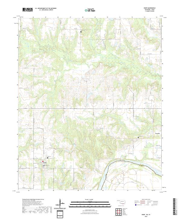
Kemp and Yarnaby anchor this southern Oklahoma landscape along the Red River border with Texas. The terrain is defined by a dense network of meandering waterways, including the prominent Island Bayou which winds across the center of the sheet, and the complex drainage of Caney Cr, Muddy Cr, and Sandy Cr. These creeks feed into various oxbows and backwaters like Caney Slough and Rodgers Lake Number 3.
Find a feature on this map
63 named features on this map. Tap any name to fly to it.
Don’t see what you’re looking for? This feature index may not catch every label — zoom into the map to look around manually.
Map Details
Date Portrayed2022
Date Published2022
PublisherU.S. Geological Survey
Map TypeTopographic
Scale1:24000
Physical Dimensions24 x 29 inches
Editions of this 2022 Kemp Map
This is the sole edition of this map. No revisions or reprints were ever made.
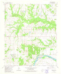
Historical Maps of Achille Through Time
Featured Locations
Source Details
SourceU.S. Geological Survey
CopyrightPublic Domain