1980 Map of Kemp
USGS Topo · Published 1981About this map
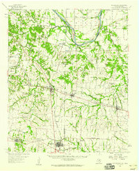
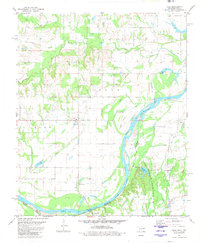
The Red River corridor south of Kemp forms a complex landscape of shifting waters and historic lines along the Oklahoma-Texas border. This 1980 survey reveals the intricate drainage patterns of the area, defined by Island Bayou, Caney Slu, and Muddy Creek. A significant historical landmark is the Old Indian Treaty Boundary, which cuts across the central terrain north of the river. Local settlement centers on the small community of Kemp and the eastern hamlet of Yarnaby, with family and community history preserved at the Burney Cem, Yarnaby Cem, and the Prairie View Ch. The landscape is a mix of agricultural plots and bottomlands, with evidence of local industry such as the Gravel Pit near Chico Cr. This map documents a quiet rural era in Bryan Co before significant modern development altered the river's character.
Find a feature on this map
32 named features on this map. Tap any name to fly to it.
Don’t see what you’re looking for? This feature index may not catch every label — zoom into the map to look around manually.
Map Details
Editions of this 1980 Kemp Map
This is the sole edition of this map. No revisions or reprints were ever made.
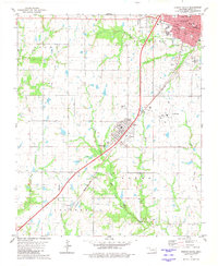
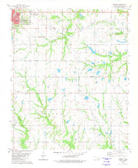
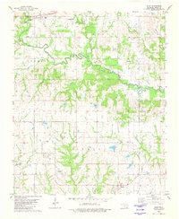
Other maps of this area

1954 · Sherman
USGS Topo · 1:250,000
1957 · Wade
USGS Topo · 1:62,500
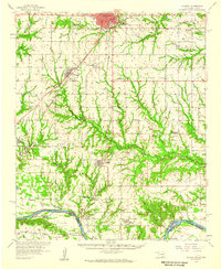
1958 · Durant
USGS Topo · 1:62,500
1958 · Bonham
USGS Topo · 1:62,500
1958 · Whitesright
USGS Topo · 1:62,500

1958 · Sherman
USGS Topo · 1:250,000
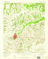
1980 · Durant South
USGS Topo · 1:24,000
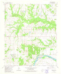
1980 · Roberta
USGS Topo · 1:24,000
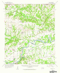
1980 · Blue
USGS Topo · 1:24,000
1980 · Yuba
USGS Topo · 1:24,000