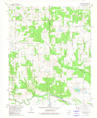
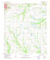
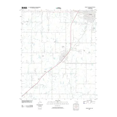
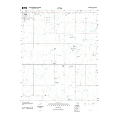
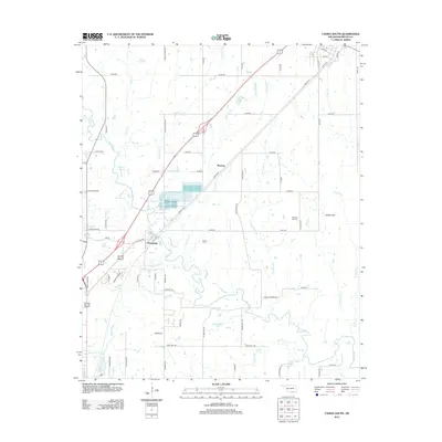
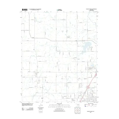
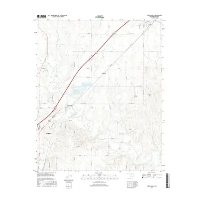
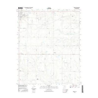
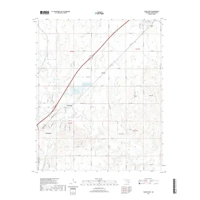
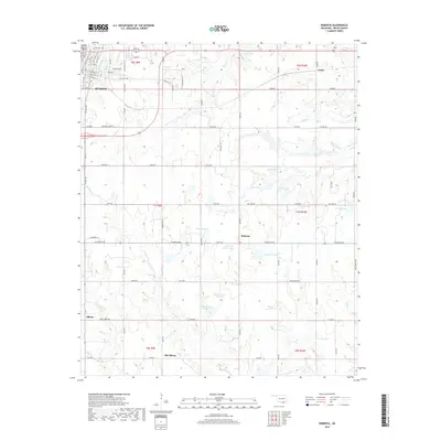
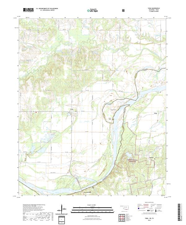
1980 Map of Yuba
USGS Topo · Published 1981About this map
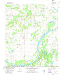
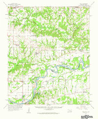
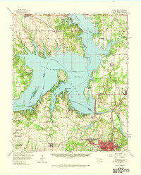
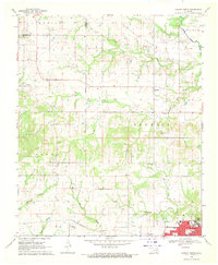
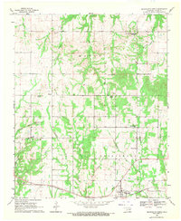
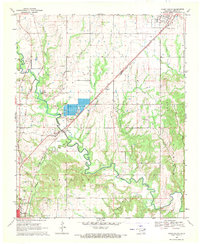
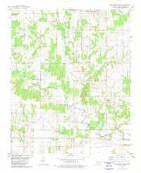
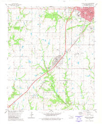
Red River floodplains and the borderlands of Oklahoma and Texas dominate this 1980s-era topographic study. The landscape is defined by the shifting course of the river, which has created numerous oxbows and water bodies such as Cutoff Lake and Eagle Lake. On the southern bank, the Caddo National Grassland provides a significant preserved area of native terrain, surrounding Lake Fannin.
Find a feature on this map
25 named features on this map. Tap any name to fly to it.
Don’t see what you’re looking for? This feature index may not catch every label — zoom into the map to look around manually.
Map Details
Editions of this 1980 Yuba Map
This is the sole edition of this map. No revisions or reprints were ever made.
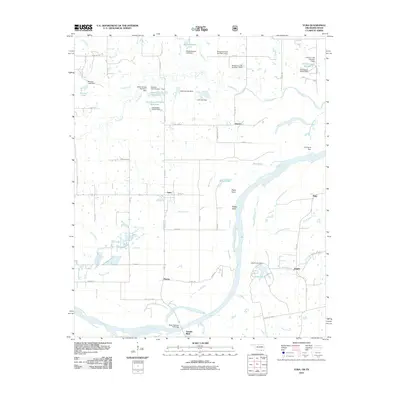
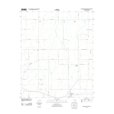
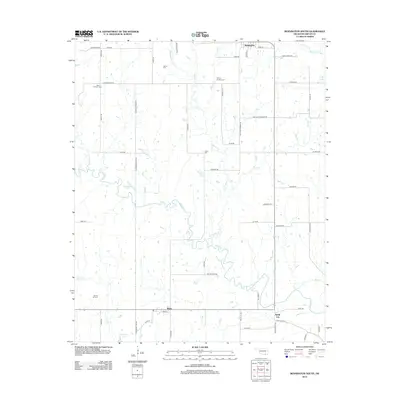
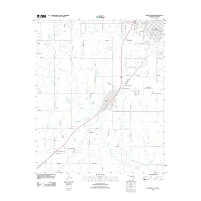
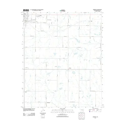
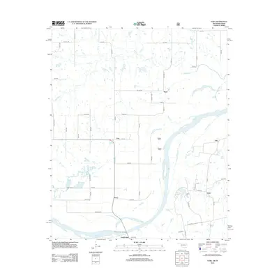
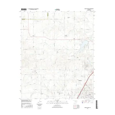
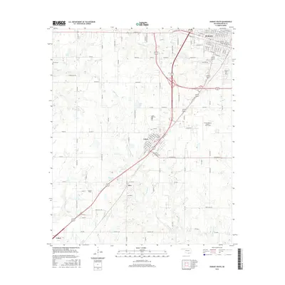
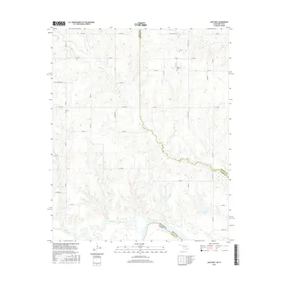
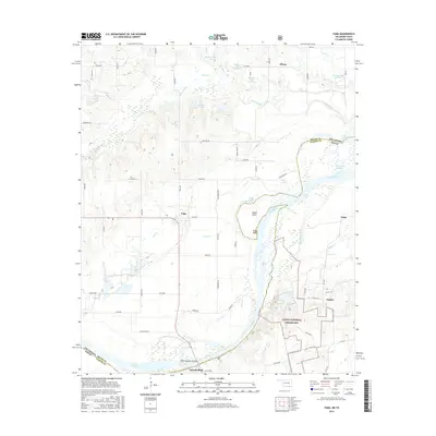
Historical Maps of Tulip Through Time
50 maps found
1957 Wade
Bryan County, OK
1958 Denison Dam
Bryan County, OK
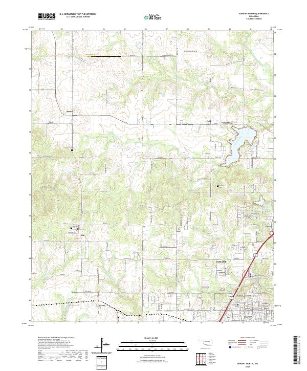
1968 Durant North
Bryan County, OK
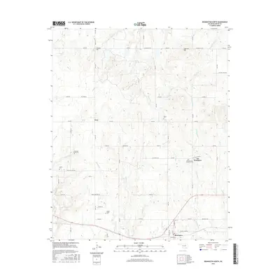
1969 Bennington North
Bryan County, OK
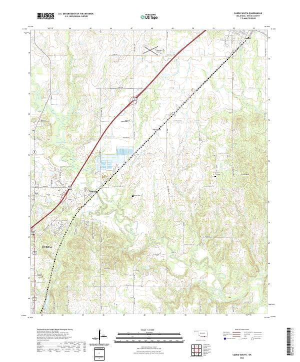
1969 Caddo South
Bryan County, OK
1980 Bennington South
Bryan County, OK
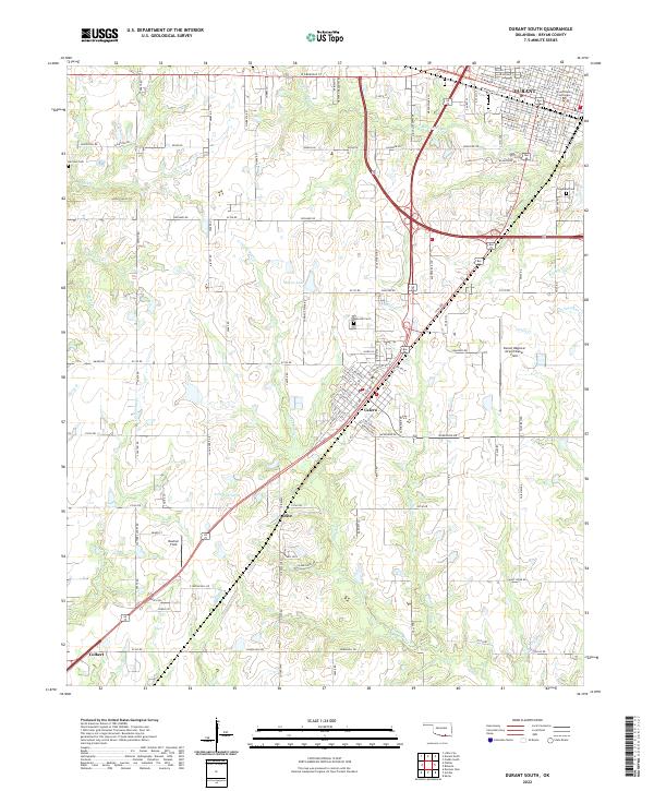
1980 Durant South
Bryan County, OK
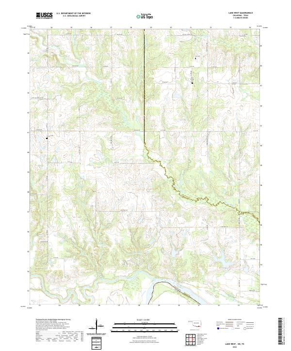
1980 Lake West
Bryan County, OK
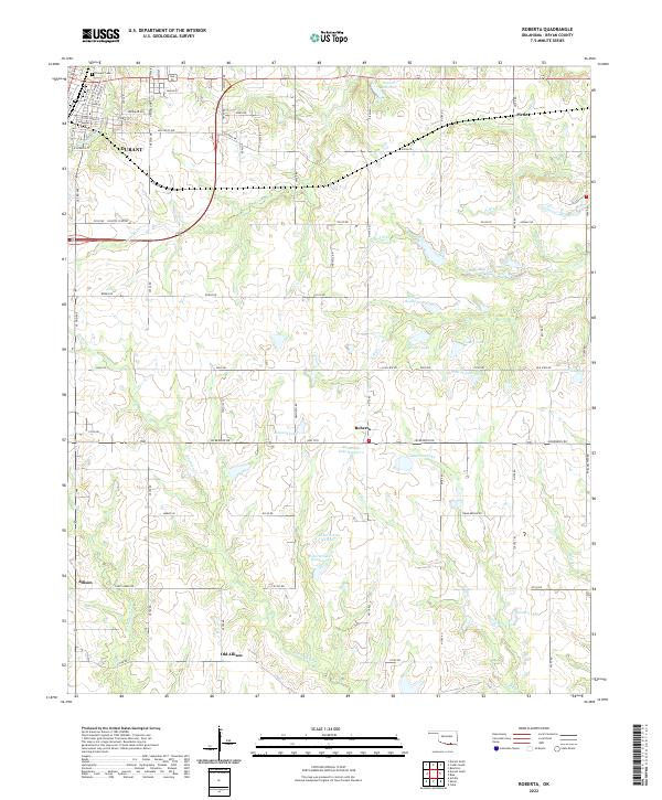
1980 Roberta
Bryan County, OK
1980 Yuba
Bryan County, OK
2009 Bennington South
Bryan County, OK
2009 Durant North
Bryan County, OK
2009 Durant South
Bryan County, OK
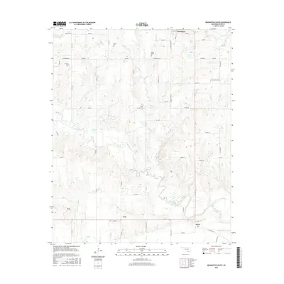
2010 Bennington North
Bryan County, OK
2010 Caddo South
Bryan County, OK
2010 Lake West
Bryan County, OK
2010 Roberta
Bryan County, OK
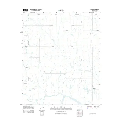
2010 Yuba
Bryan County, OK
2012 Bennington North
Bryan County, OK
2012 Bennington South
Bryan County, OK
2012 Caddo South
Bryan County, OK
2012 Durant South
Bryan County, OK
2012 Roberta
Bryan County, OK
2012 Yuba
Bryan County, OK
2013 Durant North
Bryan County, OK
2013 Lake West
Bryan County, OK
2016 Bennington North
Bryan County, OK
2016 Bennington South
Bryan County, OK
2016 Caddo South
Bryan County, OK
2016 Durant North
Bryan County, OK
2016 Durant South
Bryan County, OK
2016 Lake West
Bryan County, OK
2016 Roberta
Bryan County, OK
2016 Yuba
Bryan County, OK
2018 Bennington North
Bryan County, OK
2018 Bennington South
Bryan County, OK
2018 Caddo South
Bryan County, OK
2018 Durant North
Bryan County, OK
2018 Durant South
Bryan County, OK
2018 Lake West
Bryan County, OK
2018 Roberta
Bryan County, OK
2018 Yuba
Bryan County, OK
2022 Bennington North
Bryan County, OK
2022 Bennington South
Bryan County, OK
2022 Caddo South
Bryan County, OK
2022 Durant North
Bryan County, OK
2022 Durant South
Bryan County, OK
2022 Lake West
Bryan County, OK
2022 Roberta
Bryan County, OK
2022 Yuba
Bryan County, OK