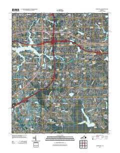
2011 Map of Kempsville
USGS Topo · Published 2011About this map
Norfolk, Virginia Beach, and Chesapeake converge on this 2011 survey, illustrating a dense suburban landscape shaped by the tidal reaches of the Eastern Branch Elizabeth River and the Indian River. The map reveals a complex network of established residential neighborhoods and commercial developments, such as Military Circle Mall, alongside significant institutions like Regent University and the Strayer University Virginia Beach Campus.
Find a feature on this map
144 named features on this map. Tap any name to fly to it.
Don’t see what you’re looking for? This feature index may not catch every label — zoom into the map to look around manually.
Map Details
Editions of this 2011 Kempsville Map
This is the sole edition of this map. No revisions or reprints were ever made.
Other maps of this area
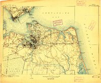
1907 · Norfolk
USGS Topo · 1:125,000
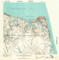
1918 · Cape Henry
USGS Topo · 1:62,500
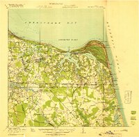
1919 · Cape Henry
USGS Topo · 1:62,500
1921 · Newport News
USGS Topo · 1:62,500
1939 · Moyock
USGS Topo · 1:62,500
1940 · Lake Drummond
USGS Topo · 1:62,500
1944 · Norfolk South
USGS Topo · 1:25,000
1945 · Lake Drummond
USGS Topo · 1:62,500
1946 · Moyock
USGS Topo · 1:62,500
1948 · Norfolk South
USGS Topo · 1:24,000