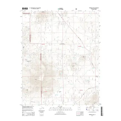
2014 Map of Kendrick Peak
USGS Topo · Published 2014About this map
Kendrick Peak dominates this high-altitude landscape where the Coconino National Forest and Kaibab National Forest converge. The topography is defined by significant volcanic and tectonic features, including the prominent Slate Mtn to the north and the cluster of Hochderffer Hills in the southeast. This map captures a complex network of high-country water management, indicated by numerous named stock tanks and seasonal sources such as Kendrick Tank, Crowley Park Tank, and Prong Lake. The presence of Crater Lake and Crater Spring Tank near the central peaks illustrates the geological character of the region. Transportation is concentrated along US Hwy 180, which skirts the meadows of Kendrick Park and Crowley Park, providing access to the various forest service roads like Fire Rd 151E.
Find a feature on this map
45 named features on this map. Tap any name to fly to it.
Don’t see what you’re looking for? This feature index may not catch every label — zoom into the map to look around manually.
Map Details
Editions of this 2014 Kendrick Peak Map
This is the sole edition of this map. No revisions or reprints were ever made.
Other maps of this area

1886 · San Francisco Mtns
USGS Topo · 1:250,000

1891 · San Francisco Mtns
USGS Topo · 1:250,000

1894 · San Francisco Mtns
USGS Topo · 1:250,000

1899 · San Francisco Mtns
USGS Topo · 1:250,000

1908 · Flagstaff
USGS Topo · 1:125,000

1912 · Flagstaff
USGS Topo · 1:125,000

1947 · Flagstaff
USGS Topo · 1:250,000

1954 · Flagstaff
USGS Topo · 1:250,000

1958 · Flagstaff
USGS Topo · 1:250,000

1960 · Flagstaff
USGS Topo · 1:250,000