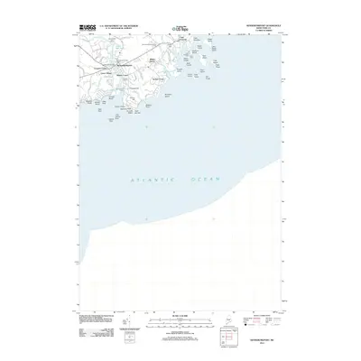
2011 Map of Kennebunkport
USGS Topo · Published 2011About this map
Kennebunkport and its surrounding coastal districts are charted here in a period of modern maritime activity and residential density. The village center is anchored by the Kennebunkport Post Office and Chicks Marina, situated where the Kennebunk River meets the sea. Upriver, the Taintown Bridge connects Lower Village to the main town near Grist Mill Pond. The coastline is remarkably jagged, defined by prominent features like Cape Arundel, Spouting Rock, and the estate-lined peninsula of Walkers Point. Further east, the village of Cape Porpoise overlooks a sheltered harbor crowded with islands such as Stage Island, Trott Island, and Goat Island. Inland, the landscape transitions to wooded rises like Crow Hill and established neighborhoods including Wildes Corner and the Wildes District. This survey captures the town's character as a premier New England coastal destination, balancing its commercial fishing heritage at Government Wharf with recreation at the Cape Arundel Golf Course.
Find a feature on this map
67 named features on this map. Tap any name to fly to it.
Don’t see what you’re looking for? This feature index may not catch every label — zoom into the map to look around manually.
Map Details
Editions of this 2011 Kennebunkport Map
This is the sole edition of this map. No revisions or reprints were ever made.
Other maps of this area

1891 · Biddeford
USGS Topo · 1:62,500

1891 · Kennebunk
USGS Topo · 1:62,500

1893 · Kennebunk
USGS Topo · 1:62,500

1893 · York
USGS Topo · 1:62,500

1893 · Biddeford
USGS Topo · 1:62,500

1898 · Kennebunk
USGS Topo · 1:62,500

1920 · York
USGS Topo · 1:62,500

1941 · Biddeford
USGS Topo · 1:62,500

1941 · Kennebunk
USGS Topo · 1:62,500

1944 · Wells
USGS Topo · 1:24,000