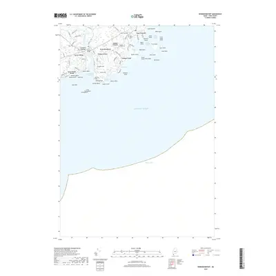
2018 Map of Kennebunkport
USGS Topo · Published 2018About this map
Kennebunkport and its satellite settlements of Lower Village, Wildes Corner, and Cape Porpoise define this stretch of the Maine coastline. The geography is dominated by the Kennebunk River estuary and a complex archipelago of islands, including Stage Island, Vaughn Island, and Goat Island. Local history is anchored by the presence of family-named landmarks such as the Deshon Dobson Cem and Home Cem, alongside the prominent Walkers Point and Cape Arundel. The map reveals the intricate shoreline from Goochs Beach to the rocky outcrops of Cape Rocks. This coastal layout underscores a landscape shaped by maritime navigation and seasonal residency, featuring points of interest like the Taintown Bridge and the elevations of Prospect Hill and Crow Hill overlooking the Atlantic Ocean.
Find a feature on this map
71 named features on this map. Tap any name to fly to it.
Don’t see what you’re looking for? This feature index may not catch every label — zoom into the map to look around manually.
Map Details
Editions of this 2018 Kennebunkport Map
This is the sole edition of this map. No revisions or reprints were ever made.
Other maps of this area

1891 · Biddeford
USGS Topo · 1:62,500

1891 · Kennebunk
USGS Topo · 1:62,500

1893 · Kennebunk
USGS Topo · 1:62,500

1893 · York
USGS Topo · 1:62,500

1893 · Biddeford
USGS Topo · 1:62,500

1898 · Kennebunk
USGS Topo · 1:62,500

1920 · York
USGS Topo · 1:62,500

1941 · Biddeford
USGS Topo · 1:62,500

1941 · Kennebunk
USGS Topo · 1:62,500

1944 · Wells
USGS Topo · 1:24,000