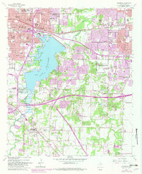
1995 Map of Kennedale
USGS Topo · Published 2002About this map
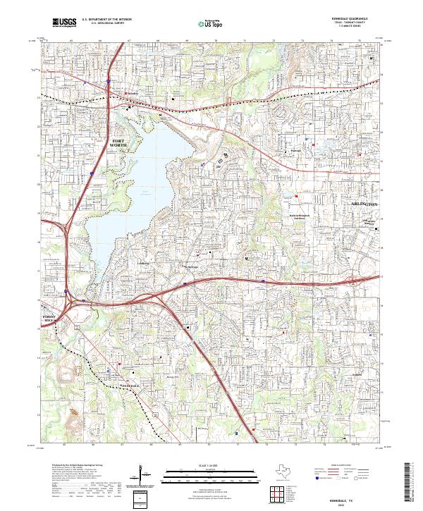
Lake Arlington dominates the central landscape of this 1995 survey, a massive reservoir whose shoreline is traced by parks like Richard Simpson Park and Thora Hart Park. The map documents the dense suburban expansion of Arlington and Fort Worth, where corporate boundaries meet near Handley. This era of Tarrant County history is defined by its educational and religious institutions, ranging from the Masonic Home and Bible Baptist Seminary to numerous local schools like Eastern Hills High Sch and Dunbar High Sch.
Find a feature on this map
73 named features on this map. Tap any name to fly to it.
Don’t see what you’re looking for? This feature index may not catch every label — zoom into the map to look around manually.
Map Details
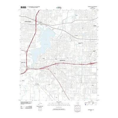
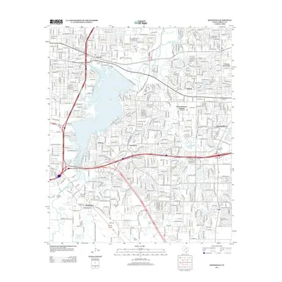
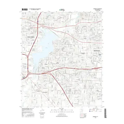
Editions of this 1995 Kennedale Map
This is the sole edition of this map. No revisions or reprints were ever made.
Historical Maps of Fort Worth Through Time
7 maps found