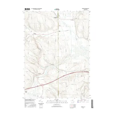
2016 Map of Kennedy
USGS Topo · Published 2016About this map
Conewango Creek serves as the central drainage for this western New York landscape, winding through a broad valley floor flanked by significant elevations like Seager Hill Rd. The map illustrates the convergence of several small hamlets, including Kennedy, Ellington, and Clear Creek, which developed around the local water system and early road networks. The influence of local families on the land is evident in the numerous namesake roads and upland landmarks such as Campbell Field.
Find a feature on this map
84 named features on this map. Tap any name to fly to it.
Don’t see what you’re looking for? This feature index may not catch every label — zoom into the map to look around manually.
Map Details
Editions of this 2016 Kennedy Map
This is the sole edition of this map. No revisions or reprints were ever made.
Other maps of this area

1900 · Cherry Creek
USGS Topo · 1:62,500

1905 · Jamestown
USGS Topo · 1:62,500

1922 · Randolph
USGS Topo · 1:62,500

1923 · Randolph
USGS Topo · 1:62,500

1923 · Cattaraugus
USGS Topo · 1:62,500

1938 · Cattaraugus
USGS Topo · 1:62,500

1941 · Cattaraugus
USGS Topo · 1:62,500

1941 · Cherry Creek
USGS Topo · 1:62,500

1942 · Jamestown
USGS Topo · 1:62,500

1943 · Randolph
USGS Topo · 1:62,500