2023 Map of Kennett Square
USGS Topo · Published 2023About this map
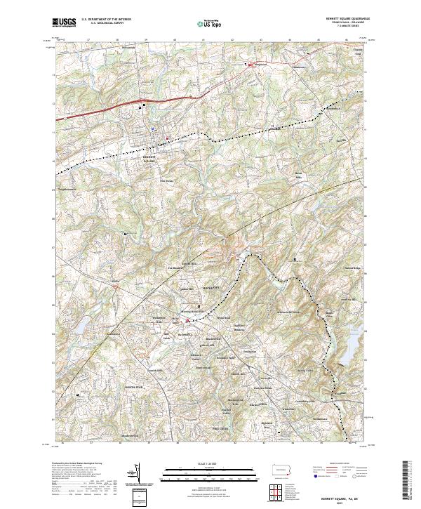
Kennett Square serves as the focal point of this corridor along the Pennsylvania Delaware border, where the suburban landscape meets the historic Brandywine Valley. The topography is defined by the winding paths of the East Branch Red Clay Creek and West Branch Red Clay Creek, which once powered local industry at sites like Burnt Mills. To the north, the horticultural influence of Longwood is evident, while the southern portion of the map transitions into the residential hills of Hockessin.
Find a feature on this map
85 named features on this map. Tap any name to fly to it.
Don’t see what you’re looking for? This feature index may not catch every label — zoom into the map to look around manually.
Map Details
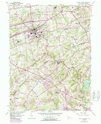
Editions of this 2023 Kennett Square Map
This is the sole edition of this map. No revisions or reprints were ever made.
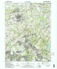
Historical Maps of Fairville Through Time
3 maps found
Featured Locations
- Brookhill Farms, DE
- Hockessin, DE
- Kennett Square, PA
- New Garden Township, PA
- Willowdale, East Marlborough Township