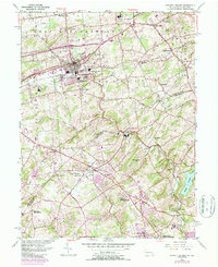
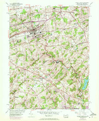
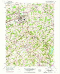
1954 Map of Kennett Square
USGS Topo · Published 1987About this map
Kennett Square and the surrounding Brandywine Valley countryside are captured here during a period of transition in the mid-1950s, with later updates showing suburban growth into the early 1980s. The landscape is defined by its deep Quaker heritage, evidenced by the Old Kennett Meetinghouse and Mill Creek Meetinghouse. The Octoraro Branch railroad threads through the terrain, connecting small hubs like Mendenhall and Rosedale.
Find a feature on this map
53 named features on this map. Tap any name to fly to it.
Don’t see what you’re looking for? This feature index may not catch every label — zoom into the map to look around manually.
Map Details
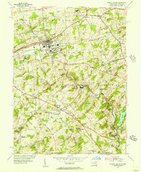
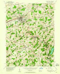
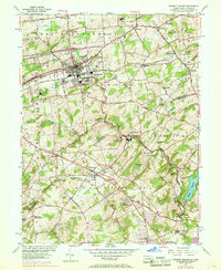
Editions of this 1954 Kennett Square Map
6 editions found
Other maps of this area

1898 · Elkton
USGS Topo · 1:62,500

1900 · Elkton
USGS Topo · 1:62,500

1901 · West Chester
USGS Topo · 1:62,500

1904 · West Chester
USGS Topo · 1:62,500

1904 · Coatesville
USGS Topo · 1:62,500

1904 · Wilmington
USGS Topo · 1:62,500

1906 · Coatesville
USGS Topo · 1:62,500

1906 · Wilmington
USGS Topo · 1:62,500

1917 · Elkton
USGS Topo · 1:62,500

1918 · Coatesville
USGS Topo · 1:62,500
Featured Places
- Hockessin, DE
- New Garden Township, PA
- Kennett Square, PA
- Willowdale, East Marlborough Township
- Yorklyn, DE