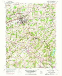
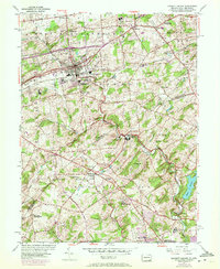
1954 Map of Kennett Square
USGS Topo · Published 1974About this map
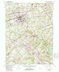
Kennett Square serves as a major hub for the region as captured in this mid-century survey, revised in the early 1970s. The landscape reflects a mix of institutional grounds and emerging suburban clusters, most notably the expansive Longwood Gardens and the Kennett Square Country Club north of town. Cultural and community history is well-preserved through several religious sites and cemeteries, including the Old Kennett Meetinghouse near Hamorton and the Mill Creek Meetinghouse located in the southwestern corner of the sheet. Education is a prominent theme, with locations for the Sanford Preparatory Sch and the Sunnybrook School for the Blind recorded near the Delaware state line.
Find a feature on this map
53 named features on this map. Tap any name to fly to it.
Don’t see what you’re looking for? This feature index may not catch every label — zoom into the map to look around manually.
Map Details
Editions of this 1954 Kennett Square Map
6 editions found
Other maps of this area

1898 · Elkton
USGS Topo · 1:62,500

1900 · Elkton
USGS Topo · 1:62,500

1901 · West Chester
USGS Topo · 1:62,500

1904 · West Chester
USGS Topo · 1:62,500

1904 · Coatesville
USGS Topo · 1:62,500

1904 · Wilmington
USGS Topo · 1:62,500

1906 · Coatesville
USGS Topo · 1:62,500

1906 · Wilmington
USGS Topo · 1:62,500

1917 · Elkton
USGS Topo · 1:62,500

1918 · Coatesville
USGS Topo · 1:62,500
Featured Places
- Hockessin, DE
- New Garden Township, PA
- Kennett Square, PA
- Willowdale, East Marlborough Township
- Yorklyn, DE