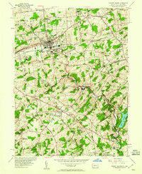
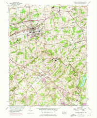
1954 Map of Kennett Square
USGS Topo · Published 1960About this map
The borough of Kennett Square serves as the focal point of this mid-century landscape, where the agricultural traditions of Chester County meet the emerging suburban and industrial corridors of northern Delaware. The terrain is defined by the winding course of Red Clay Creek and its many tributaries like East Branch and West Branch, which historically powered local industry at sites such as Burnt Mills. Religious and educational history is particularly dense here, anchored by the Old Kennett Meetinghouse and the Mill Creek Meetinghouse, reflecting the area's Quaker heritage.
Find a feature on this map
61 named features on this map. Tap any name to fly to it.
Don’t see what you’re looking for? This feature index may not catch every label — zoom into the map to look around manually.
Map Details
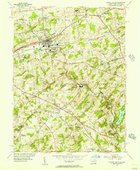
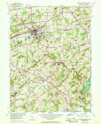
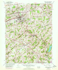
Editions of this 1954 Kennett Square Map
6 editions found
Other maps of this area

1898 · Elkton
USGS Topo · 1:62,500

1900 · Elkton
USGS Topo · 1:62,500

1901 · West Chester
USGS Topo · 1:62,500

1904 · West Chester
USGS Topo · 1:62,500

1904 · Coatesville
USGS Topo · 1:62,500

1904 · Wilmington
USGS Topo · 1:62,500

1906 · Coatesville
USGS Topo · 1:62,500

1906 · Wilmington
USGS Topo · 1:62,500

1917 · Elkton
USGS Topo · 1:62,500

1918 · Coatesville
USGS Topo · 1:62,500
Featured Places
- Hockessin, DE
- New Garden Township, PA
- Kennett Square, PA
- Willowdale, East Marlborough Township
- Yorklyn, DE