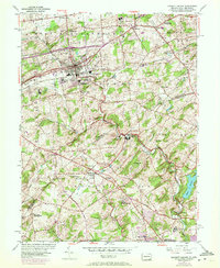
1954 Map of Kennett Square
USGS Topo · Published 1972About this map
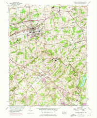
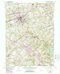
The rolling landscape of East Marlborough and Kennett townships is defined by a dense network of institutional and religious landmarks along the Pennsylvania-Delaware border. The 1954 data, photorevised in 1968, captures the established agricultural and estate character of the region, anchored by Longwood Gardens and the historic Old Kennett Meetinghouse. Transportation is dominated by the Penn Central rail corridor and arterial routes like the Baltimore Pike, which connect the concentrated borough of Kennett Square to outlying hamlets like Mendenhall and Hamorton.
Find a feature on this map
55 named features on this map. Tap any name to fly to it.
Don’t see what you’re looking for? This feature index may not catch every label — zoom into the map to look around manually.
Map Details
Editions of this 1954 Kennett Square Map
6 editions found
Other maps of this area

1898 · Elkton
USGS Topo · 1:62,500

1900 · Elkton
USGS Topo · 1:62,500

1901 · West Chester
USGS Topo · 1:62,500

1904 · West Chester
USGS Topo · 1:62,500

1904 · Coatesville
USGS Topo · 1:62,500

1904 · Wilmington
USGS Topo · 1:62,500

1906 · Coatesville
USGS Topo · 1:62,500

1906 · Wilmington
USGS Topo · 1:62,500

1917 · Elkton
USGS Topo · 1:62,500

1918 · Coatesville
USGS Topo · 1:62,500
Featured Places
- Hockessin, DE
- New Garden Township, PA
- Kennett Square, PA
- Willowdale, East Marlborough Township
- Yorklyn, DE