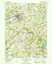
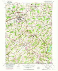
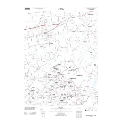
1954 Map of Kennett Square
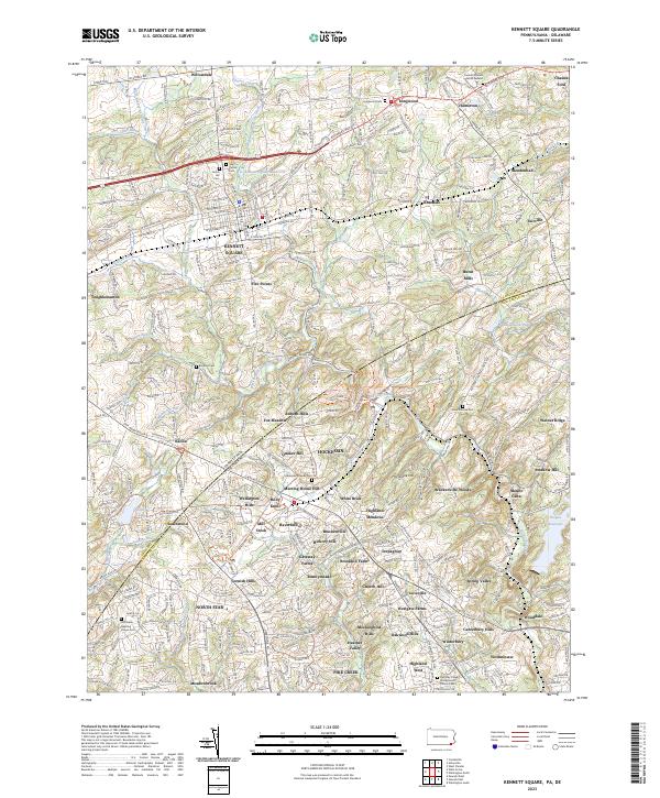
USGS Topo · Published 1969About this map
The borough of Kennett Square serves as a central hub for this mid-century survey of southeastern Pennsylvania and northern Delaware. Established transportation routes such as the Baltimore Pike and the Penn Central railroad corridors connect the primary settlement to outlying villages like Hamorton, Mendenhall, and Willowdale. The landscape is characterized by a high density of religious and educational institutions, including the Old Kennett Meetinghouse Cem, St Patrick Ch, and the Mill Creek Meetinghouse, reflecting the area's deep Quaker and community heritage.
Find a feature on this map
60 named features on this map. Tap any name to fly to it.
Don’t see what you’re looking for? This feature index may not catch every label — zoom into the map to look around manually.
Map Details
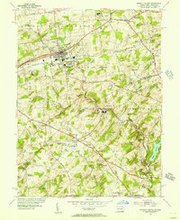
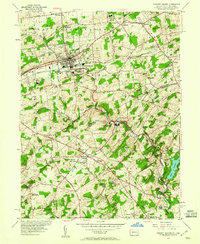
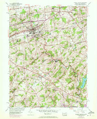
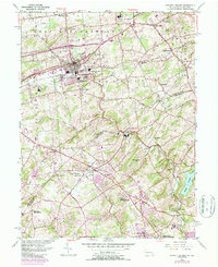
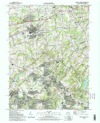
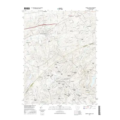
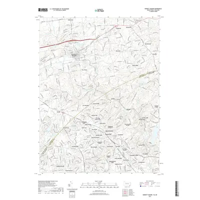
Editions of this 1954 Kennett Square Map
6 editions found
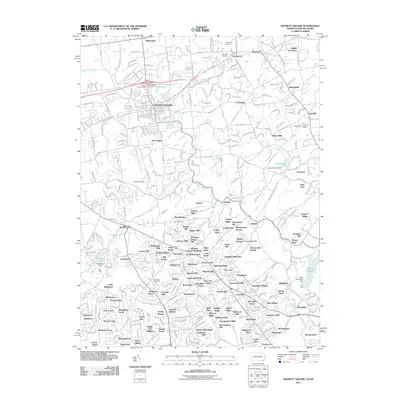
Historical Maps of Hockessin Through Time
7 maps found
Featured Locations
- Hockessin, DE
- Yorklyn, DE
- Kennett Square, PA
- New Garden Township, PA
- Willowdale, East Marlborough Township