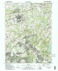
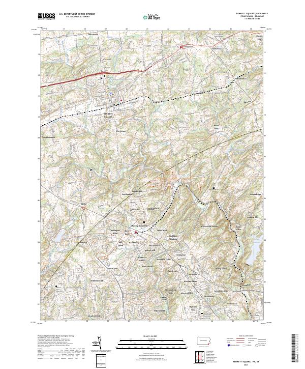
1993 Map of Kennett Square
USGS Topo · Published 1993About this map
Kennett Square serves as the central hub of this 1993 survey, anchoring a landscape where the rural traditions of East Marlborough and Kennett townships meet the growing suburban developments of northern Delaware. The state line between Pennsylvania and Delaware bisects the map, showing how historic sites like the Old Kennett Meeting House and the Longwood Cem near Longwood exist alongside more modern infrastructure like the Kennett Medical Center and the Water Filtration Plant.
Find a feature on this map
106 named features on this map. Tap any name to fly to it.
Don’t see what you’re looking for? This feature index may not catch every label — zoom into the map to look around manually.
Map Details
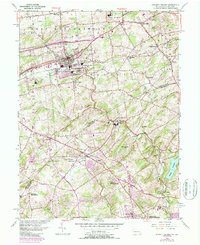
Editions of this 1993 Kennett Square Map
This is the sole edition of this map. No revisions or reprints were ever made.
Historical Maps of Hockessin Through Time
3 maps found
Featured Locations
- Hockessin, DE
- Yorklyn, DE
- Kennett Square, PA
- New Garden Township, PA
- Willowdale, East Marlborough Township