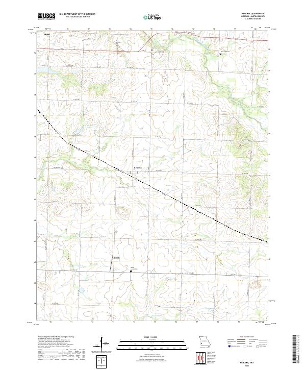
2021 Map of Kenoma
USGS Topo · Published 2021About this map
Kenoma serves as the central hub for this section of Barton County, situated amidst a grid-like network of rural roads such as State Hwy T and SE 40th Rd. The landscape is defined by the gentle drainage patterns of the North Fork Spring River and several local tributaries including Pettis Cr and Dorris Cr. Local history is anchored by several rural burial grounds, including Fair View Cem to the north and Mount Carmel Cem near the center of the sheet.
Find a feature on this map
35 named features on this map. Tap any name to fly to it.
Don’t see what you’re looking for? This feature index may not catch every label — zoom into the map to look around manually.
Map Details
Editions of this 2021 Kenoma Map
This is the sole edition of this map. No revisions or reprints were ever made.
Other maps of this area

1886 · Nevada
USGS Topo · 1:125,000

1886 · Carthage
USGS Topo · 1:125,000

1894 · Nevada
USGS Topo · 1:125,000

1894 · Carthage
USGS Topo · 1:125,000

1947 · Joplin
USGS Topo · 1:250,000

1949 · Joplin
USGS Topo · 1:250,000

1954 · Joplin
USGS Topo · 1:250,000

1958 · Joplin
USGS Topo · 1:250,000

1959 · Joplin
USGS Topo · 1:250,000
1962 · Jerico Springs
USGS Topo · 1:24,000