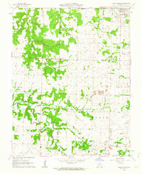
1962 Map of Jerico Springs
USGS Topo · Published 1963About this map
Jerico Springs serves as the primary hub in this early 1960s landscape, situated at the intersection of Cedar, Barton, and Dade Counties. The region is defined by a series of north-flowing waterways, including Horse Creek, Bear Creek, and White Oak Branch, which carve through the terrain. The community structure of the era is evident through numerous rural institutions, such as Sylvania Sch and Harmony Ch, alongside localized burial grounds like Anna-Edna Cem and German Cem.
Find a feature on this map
29 named features on this map. Tap any name to fly to it.
Don’t see what you’re looking for? This feature index may not catch every label — zoom into the map to look around manually.
Map Details
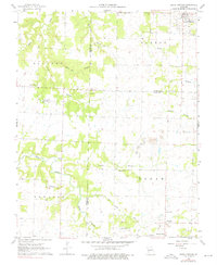
Editions of this 1962 Jerico Springs Map
2 editions found
Other maps of this area

1886 · Nevada
USGS Topo · 1:125,000

1886 · Stockton
USGS Topo · 1:125,000

1886 · Greenfield
USGS Topo · 1:125,000

1886 · Carthage
USGS Topo · 1:125,000

1888 · Greenfield
USGS Topo · 1:125,000

1894 · Nevada
USGS Topo · 1:125,000

1894 · Carthage
USGS Topo · 1:125,000

1947 · Joplin
USGS Topo · 1:250,000

1949 · Joplin
USGS Topo · 1:250,000

1954 · Springfield
USGS Topo · 1:250,000