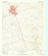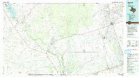
1986 Map of Kermit
USGS Topo · Published 1993About this map
Kermit and the surrounding Permian Basin oil fields define this West Texas landscape during the mid-1980s. The map illustrates a region where industrial infrastructure meets the desert, dominated by extensive energy production networks and the drainage patterns of the Pecos River. The northwest corner is anchored by the Red Bluff Reservoir, where Salt Creek and the river converge. Moving south and east, the terrain is marked by a complex system of seasonal watercourses such as Horsehead Draw, Narrow Bow Draw, and Monument Draw, which carve through the arid plains near Skinner Ridge.
Find a feature on this map
35 named features on this map. Tap any name to fly to it.
Don’t see what you’re looking for? This feature index may not catch every label — zoom into the map to look around manually.
Map Details
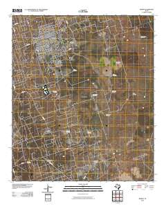
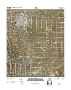
Editions of this 1986 Kermit Map
2 editions found

Historical Maps of Monahans Through Time
7 maps found