Loading...
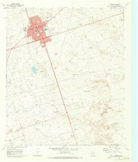
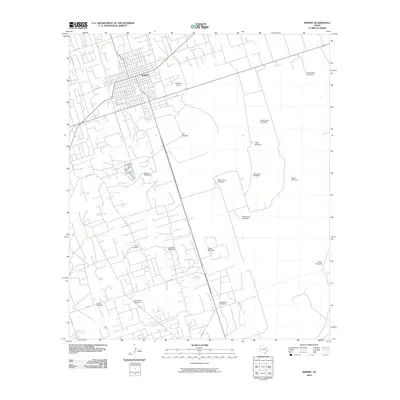
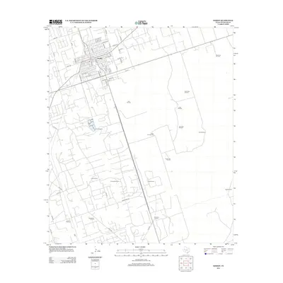
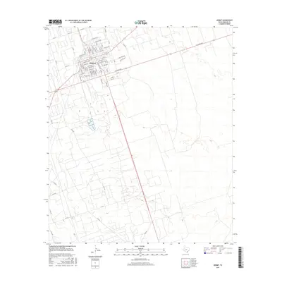
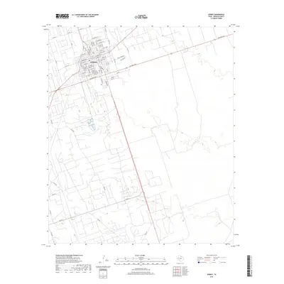
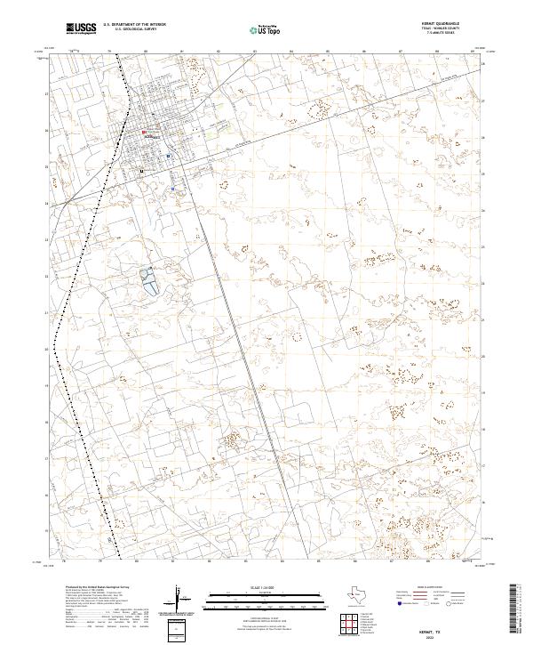
Loading map...1970 Map of Kermit
USGS Topo · Published 1973About this map
The city of Kermit stands as a focal point of West Texas industrial development on this 1970s survey, surrounded by an extensive Oil and Gas Field. The map records a community built around energy and infrastructure, featuring the Gasoline Plant to the southwest and numerous pipelines that crisscross the arid landscape. Social and civic life is anchored by schools like Purple Sage Sch and recreational spaces including Plaza Park and Walton Park.
Find a feature on this map
25 named features on this map. Tap any name to fly to it.
Don’t see what you’re looking for? This feature index may not catch every label — zoom into the map to look around manually.
Map Details
Date Portrayed1970
Date Published1973
PublisherU.S. Geological Survey
Map TypeTopographic
Scale1:24,000
Physical Dimensions23 x 26.9 inches
Editions of this 1970 Kermit Map
This is the sole edition of this map. No revisions or reprints were ever made.
Historical Maps of Kermit Through Time
7 maps found
Featured Locations
Source Details
SourceU.S. Geological Survey
CopyrightPublic Domain