
1968 Map of China Ranch
USGS Topo · Published 1971About this map
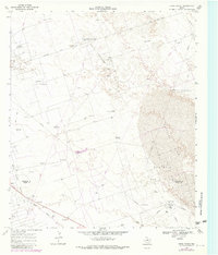
North Monahans Field and the surrounding Shifting Sand dunes of Winkler and Ward counties define this landscape in the late 1960s. The map illustrates a high-intensity industrial environment where the petroleum economy dominates the high desert terrain. Extensive infrastructure, including the Monahans Gasoline Plant and Halley Gas Plant, is linked by a dense network of pipelines and service roads like Blockline Road.
Find a feature on this map
32 named features on this map. Tap any name to fly to it.
Don’t see what you’re looking for? This feature index may not catch every label — zoom into the map to look around manually.
Map Details
Editions of this 1968 China Ranch Map
2 editions found
Other maps of this area

1954 · Pecos
USGS Topo · 1:250,000

1957 · Pecos
USGS Topo · 1:250,000

1968 · Monahans SE
USGS Topo · 1:24,000

1968 · Cowden Place
USGS Topo · 1:24,000

1969 · Pyote NE
USGS Topo · 1:24,000

1969 · Pyote East
USGS Topo · 1:24,000

1969 · Monahans
USGS Topo · 1:24,000

1970 · Kermit
USGS Topo · 1:24,000
1971 · Amburgey Ranch
USGS Topo · 1:24,000
1971 · Wheeler Ranch
USGS Topo · 1:24,000