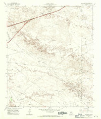
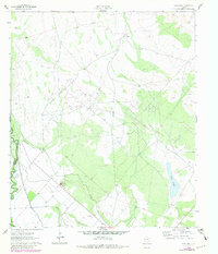
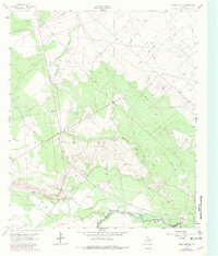
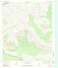
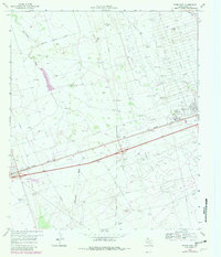
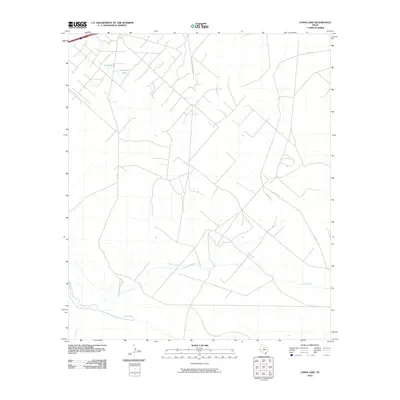
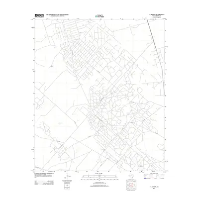
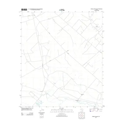
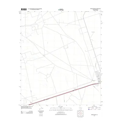
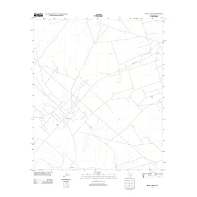
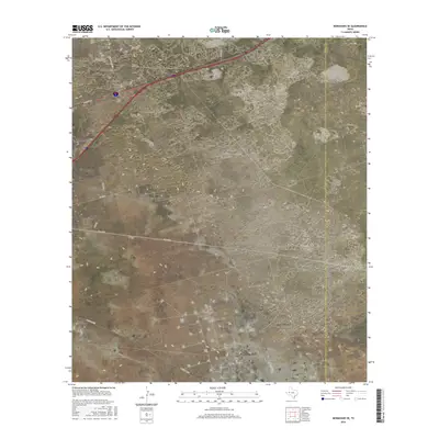
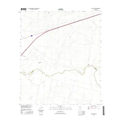
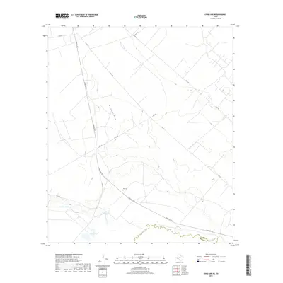
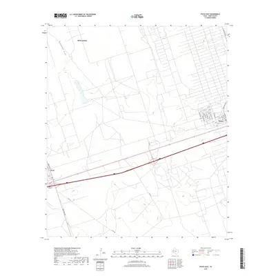
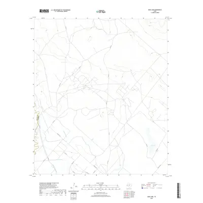
1968 Map of Monahans SE
USGS Topo · Published 1970About this map
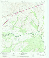
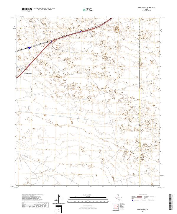
Monahans Sand Hills State Park dominates the northern landscape of this Ward County region, characterized by active dunes of shifting sand. The late 1960s terrain is a complex grid of energy and ranching infrastructure, where the Janelle Oil Field and numerous oil wells intersect with an extensive network of pipelines and aqueducts.
Find a feature on this map
33 named features on this map. Tap any name to fly to it.
Don’t see what you’re looking for? This feature index may not catch every label — zoom into the map to look around manually.
Map Details
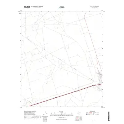
Editions of this 1968 Monahans SE Map
This is the sole edition of this map. No revisions or reprints were ever made.
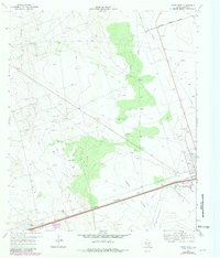
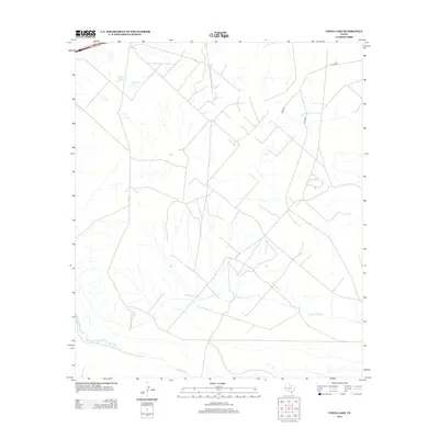
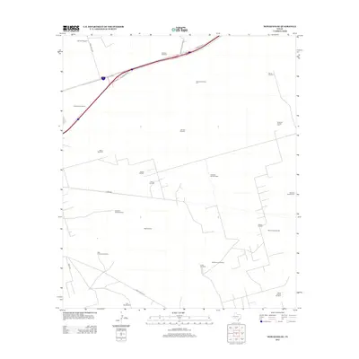
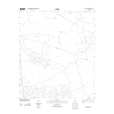
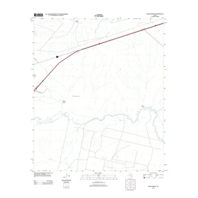
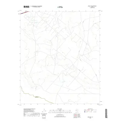
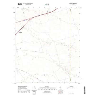
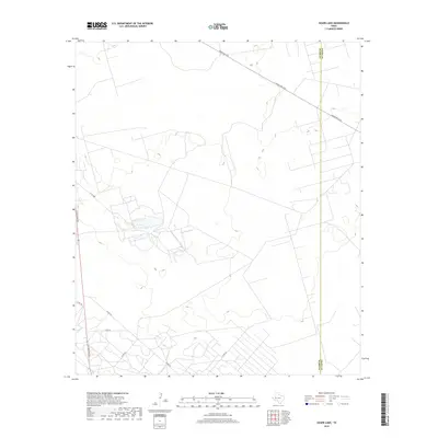
Historical Maps of Monahans Through Time
60 maps found
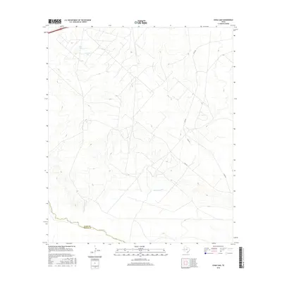
1961 Soda Lake
Ward County, TX
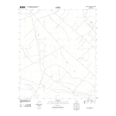
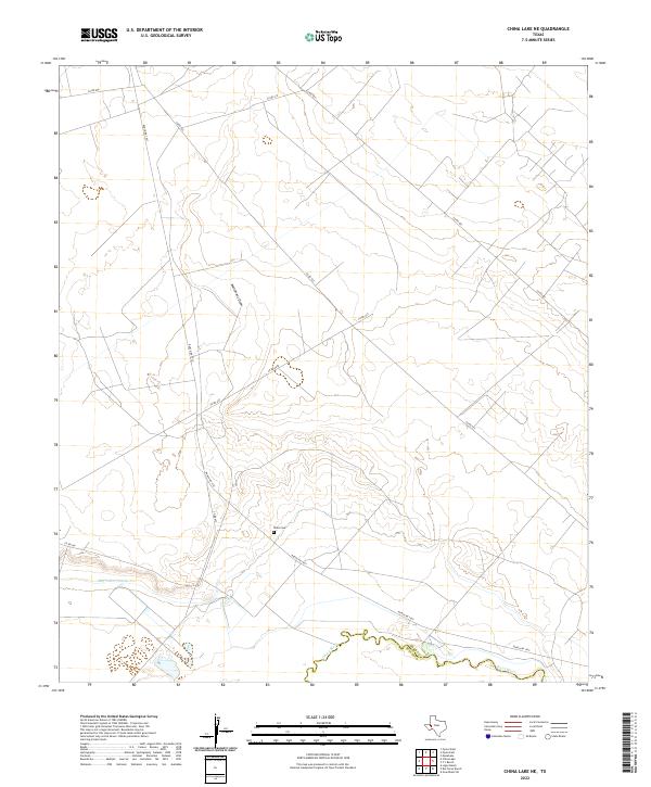
1963 China Lake NE
Ward County, TX
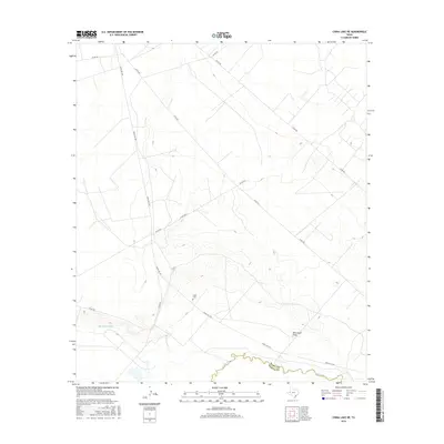
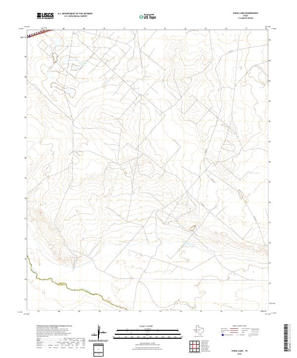
1963 China Lake
Ward County, TX
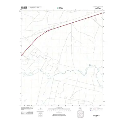
1963 Quito Draw
Ward County, TX
1968 Monahans SE
Ward County, TX
1968 Soda Lake SE
Ward County, TX
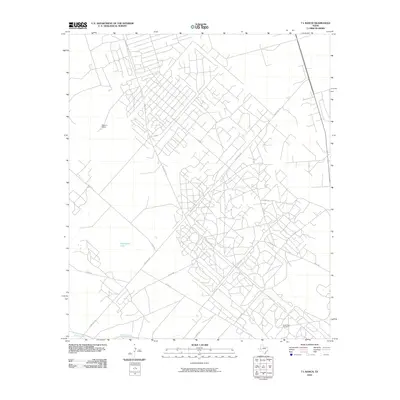
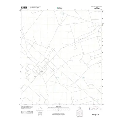
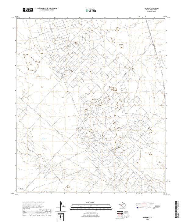
1969 7 L Ranch
Ward County, TX
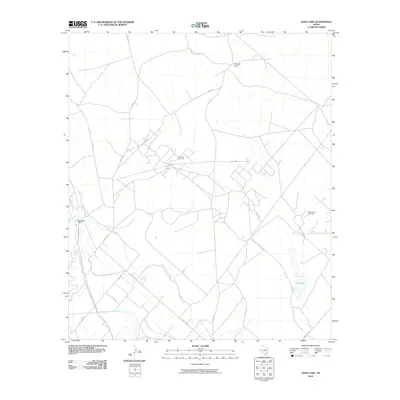
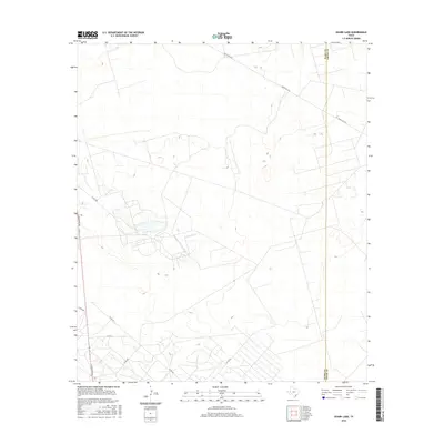
1969 Ozark Lake
Ward County, TX
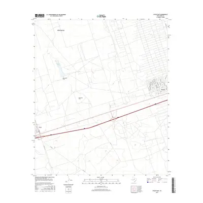
1969 Pyote East
Ward County, TX
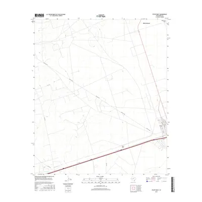
1969 Pyote West
Ward County, TX
2010 7 L Ranch
Ward County, TX
2010 China Lake NE
Ward County, TX
2010 China Lake
Ward County, TX

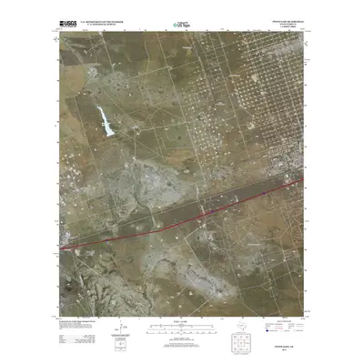
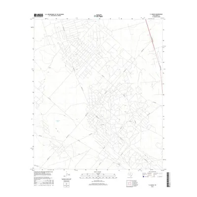
2010 Monahans SE
Ward County, TX
2010 Ozark Lake
Ward County, TX
2010 Pyote East
Ward County, TX
2010 Pyote West
Ward County, TX
2010 Quito Draw
Ward County, TX
2010 Soda Lake SE
Ward County, TX
2010 Soda Lake
Ward County, TX
2012 7 L Ranch
Ward County, TX
2012 China Lake NE
Ward County, TX
2012 China Lake
Ward County, TX
2012 Monahans SE
Ward County, TX
2012 Ozark Lake
Ward County, TX
2012 Pyote West
Ward County, TX
2012 Quito Draw
Ward County, TX
2012 Soda Lake
Ward County, TX
2013 Pyote East
Ward County, TX
2013 Soda Lake SE
Ward County, TX
2016 7 L Ranch
Ward County, TX
2016 China Lake NE
Ward County, TX
2016 China Lake
Ward County, TX
2016 Monahans SE
Ward County, TX
2016 Ozark Lake
Ward County, TX
2016 Pyote East
Ward County, TX
2016 Pyote West
Ward County, TX
2016 Quito Draw
Ward County, TX
2016 Soda Lake SE
Ward County, TX
2016 Soda Lake
Ward County, TX
2019 7 L Ranch
Ward County, TX
2019 China Lake NE
Ward County, TX
2019 China Lake
Ward County, TX
2019 Monahans SE
Ward County, TX
2019 Ozark Lake
Ward County, TX
2019 Pyote East
Ward County, TX
2019 Pyote West
Ward County, TX
2019 Quito Draw
Ward County, TX
2019 Soda Lake SE
Ward County, TX
2019 Soda Lake
Ward County, TX
2022 7 L Ranch
Ward County, TX
2022 China Lake NE
Ward County, TX
2022 China Lake
Ward County, TX
2022 Monahans SE
Ward County, TX
2022 Ozark Lake
Ward County, TX
2022 Pyote East
Ward County, TX
2022 Pyote West
Ward County, TX
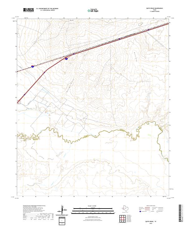
2022 Quito Draw
Ward County, TX
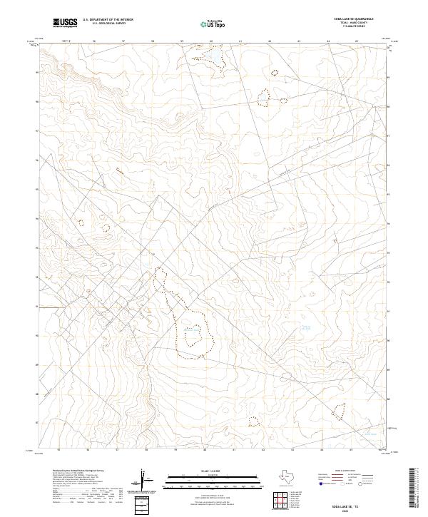
2022 Soda Lake SE
Ward County, TX
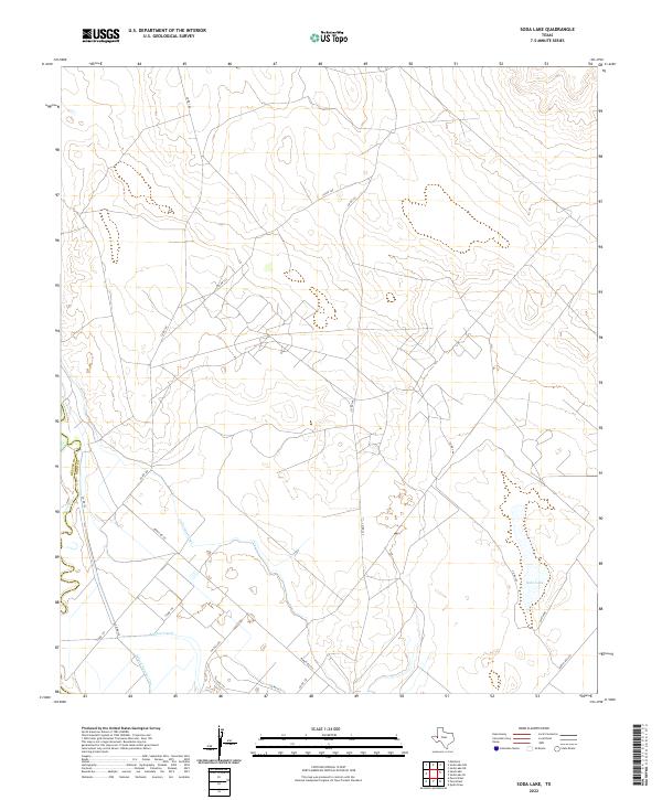
2022 Soda Lake
Ward County, TX