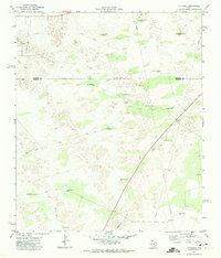
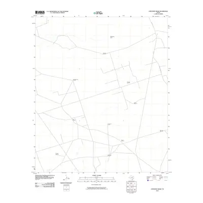
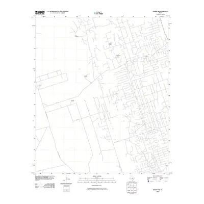
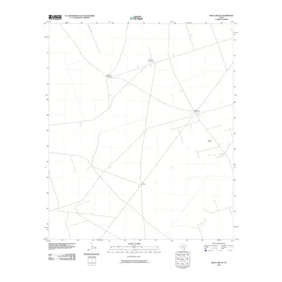
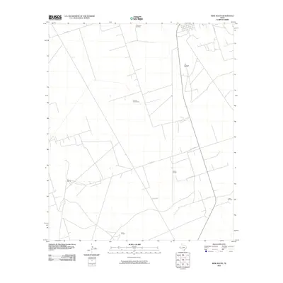
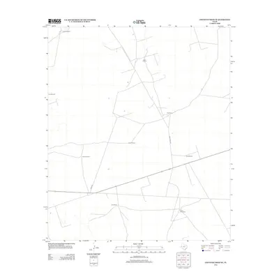
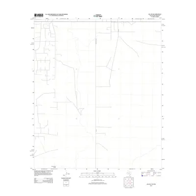
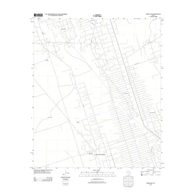
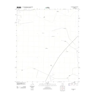
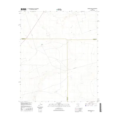
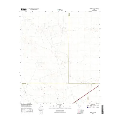
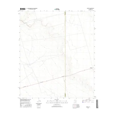
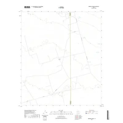
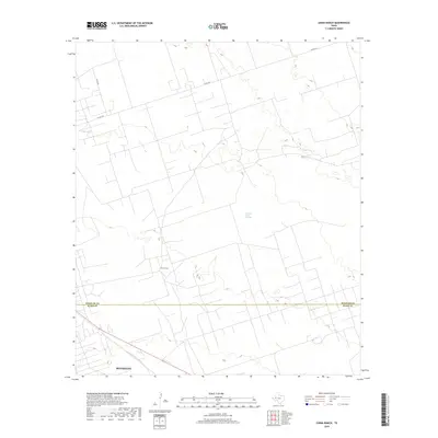
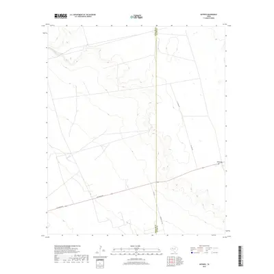
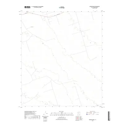
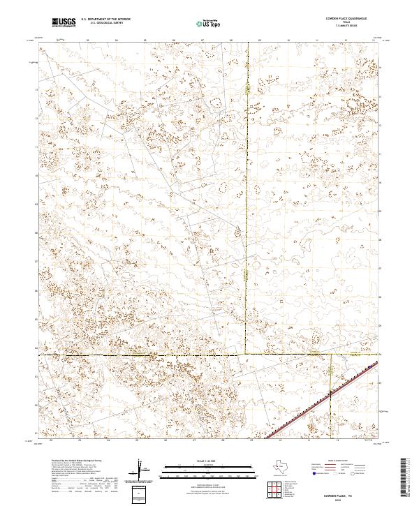
1968 Map of Cowden Place
USGS Topo · Published 1971About this map
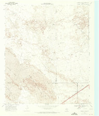
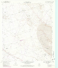
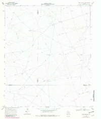
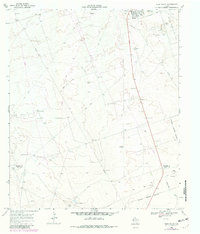
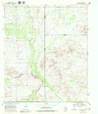
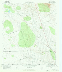
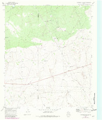
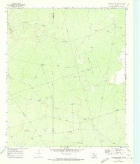
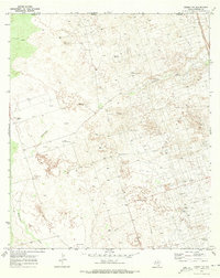
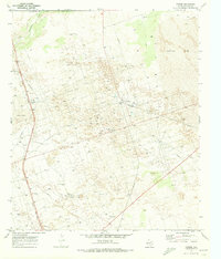
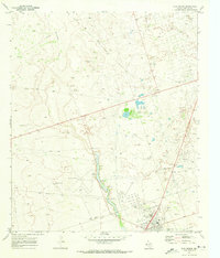
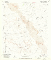
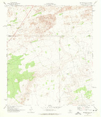
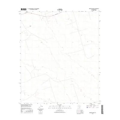
Monahans Sand Hills State Park dominates the southern landscape of this West Texas quadrangle, where the shifting topography of the Monahans Sand Hills meets the industrial infrastructure of the Permian Basin. This survey, field-checked in 1968, illustrates a specialized arid-land economy dependent on scattered groundwater and petroleum extraction. The surface is punctuated by numerous named wells, such as the Harris Windmill and Coyote Windmill, which served the few residential outposts like Cowden Place and Williams Ranch. Subsurface activity is equally prominent, with the Arenosa Oil Field and Yarbrough-Allen Oil Field marked by a dense network of pipelines and drill holes. Transport in the region is defined by the Texas and Pacific railroad line in the southeast and various Jeep Trails cutting through the dunes, highlighting the intersection of recreation and industry in the late 1960s.
Find a feature on this map
36 named features on this map. Tap any name to fly to it.
Don’t see what you’re looking for? This feature index may not catch every label — zoom into the map to look around manually.
Map Details
Editions of this 1968 Cowden Place Map
This is the sole edition of this map. No revisions or reprints were ever made.
Historical Maps of Yarbrough & Allen Oil Field Through Time
102 maps found
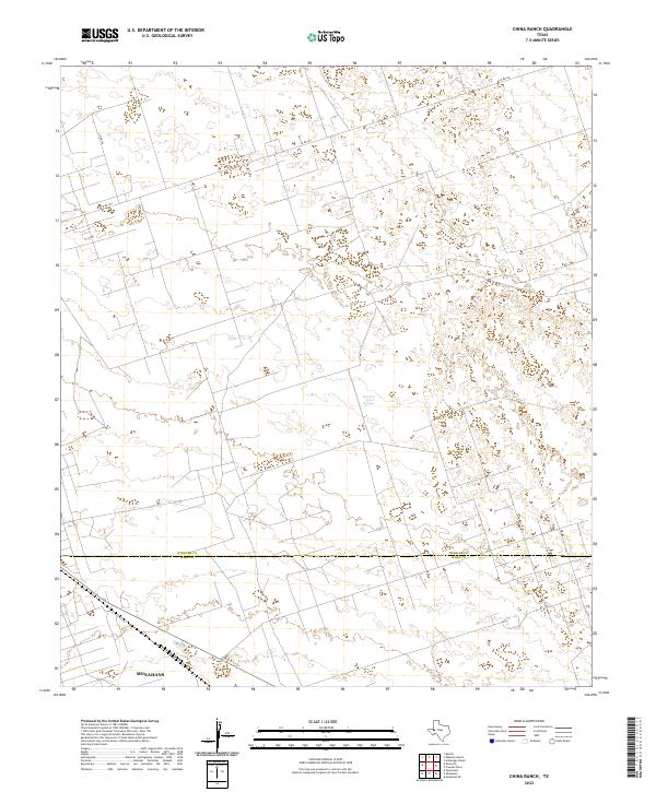
1968 China Ranch
Winkler County, TX
1968 Cowden Place
Winkler County, TX
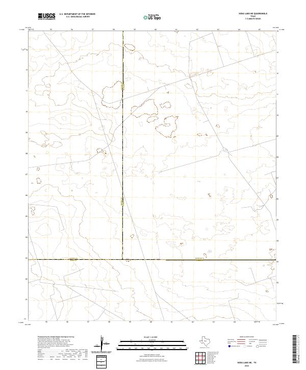
1968 Soda Lake NE
Winkler County, TX
1968 Wink South
Winkler County, TX
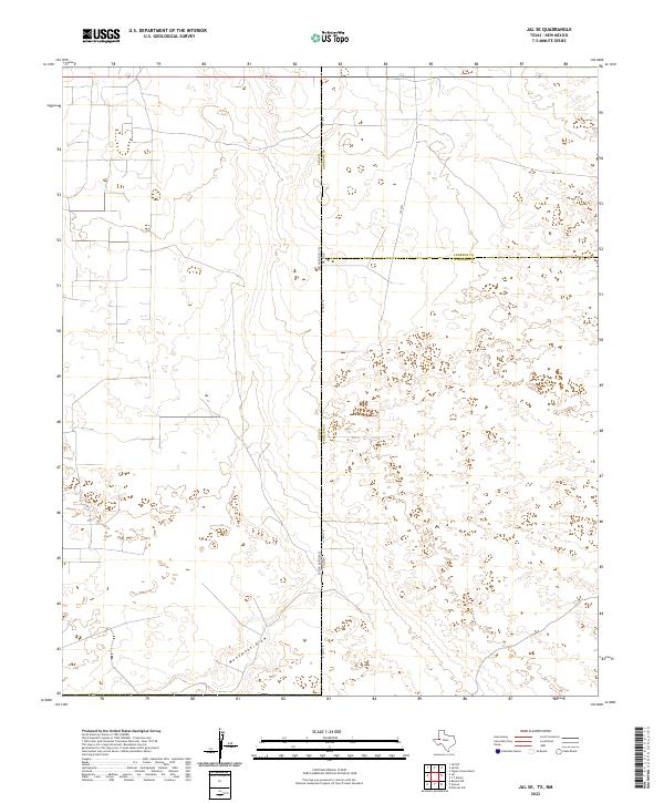
1969 Jal SE
Winkler County, TX
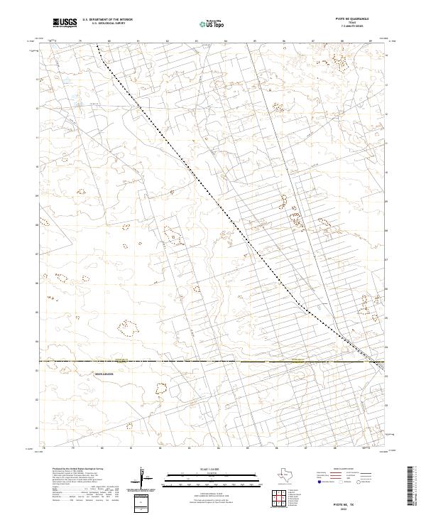
1969 Pyote NE
Winkler County, TX
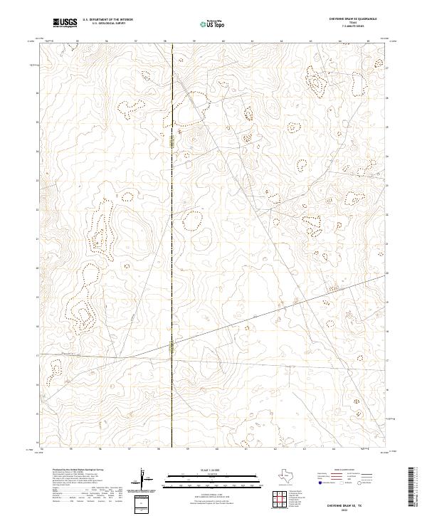
1970 Cheyenne Draw SE
Winkler County, TX
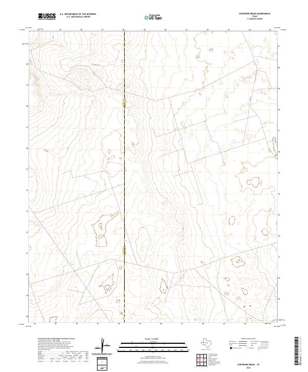
1970 Cheyenne Draw
Winkler County, TX
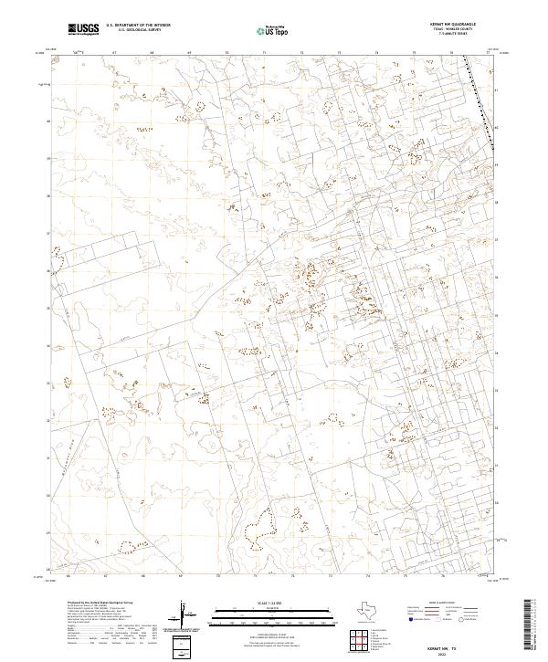
1970 Kermit NW
Winkler County, TX
1970 Vesrue
Winkler County, TX
1970 Wink North
Winkler County, TX
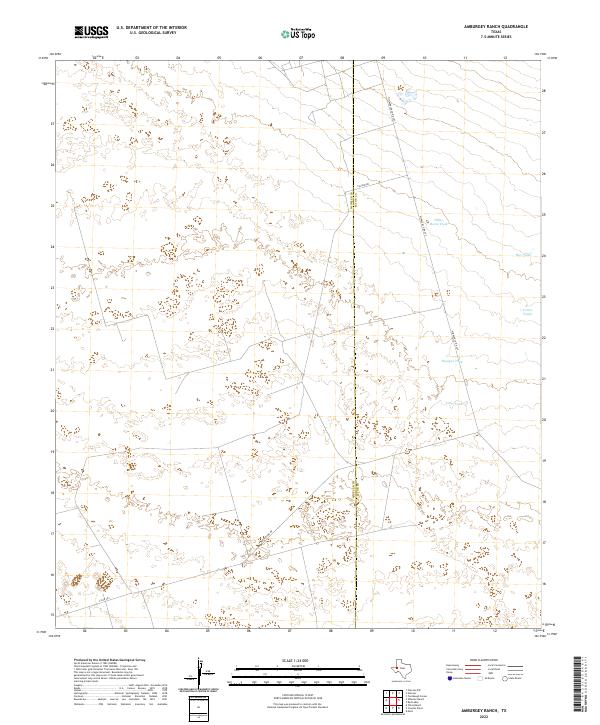
1971 Amburgey Ranch
Winkler County, TX
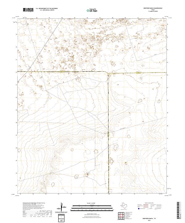
1971 Bedford Ranch
Winkler County, TX
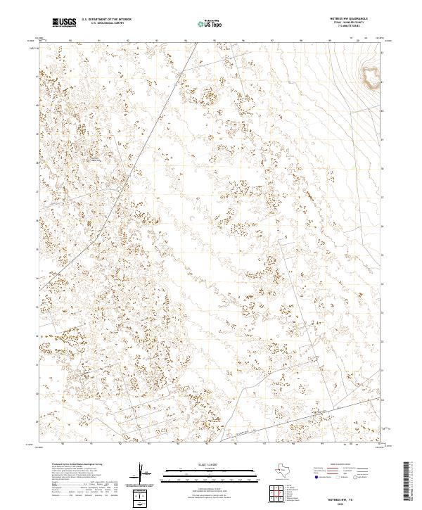
1971 Notrees NW
Winkler County, TX
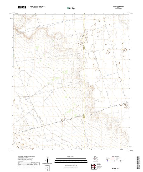
1971 Notrees
Winkler County, TX
1971 Wheeler Ranch
Winkler County, TX
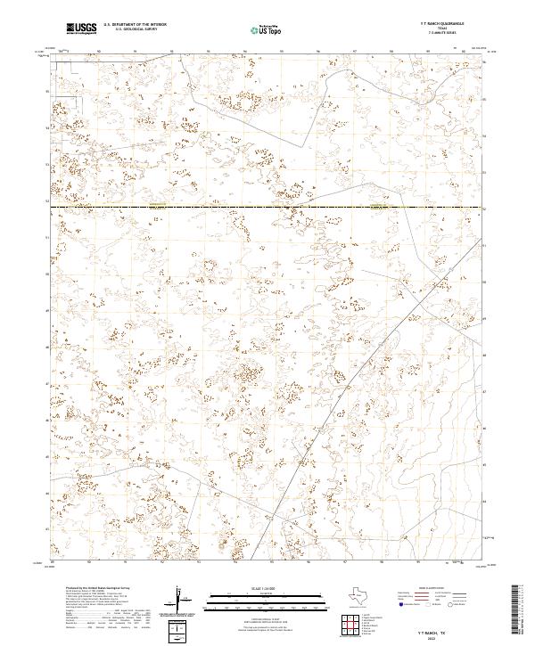
1971 Y T Ranch
Winkler County, TX
2010 Amburgey Ranch
Winkler County, TX
2010 Bedford Ranch
Winkler County, TX
2010 Cheyenne Draw SE
Winkler County, TX
2010 Cheyenne Draw
Winkler County, TX
2010 China Ranch
Winkler County, TX
2010 Cowden Place
Winkler County, TX
2010 Jal SE
Winkler County, TX
2010 Kermit NW
Winkler County, TX
2010 Notrees NW
Winkler County, TX
2010 Notrees
Winkler County, TX
2010 Pyote NE
Winkler County, TX
2010 Soda Lake NE
Winkler County, TX
2010 Vesrue
Winkler County, TX
2010 Wheeler Ranch
Winkler County, TX
2010 Wink North
Winkler County, TX
2010 Wink South
Winkler County, TX
2010 Y T Ranch
Winkler County, TX
2012 Amburgey Ranch
Winkler County, TX
2012 Bedford Ranch
Winkler County, TX
2012 Cheyenne Draw SE
Winkler County, TX
2012 Cheyenne Draw
Winkler County, TX
2012 China Ranch
Winkler County, TX
2012 Cowden Place
Winkler County, TX
2012 Jal SE
Winkler County, TX
2012 Kermit NW
Winkler County, TX
2012 Notrees NW
Winkler County, TX
2012 Notrees
Winkler County, TX
2012 Pyote NE
Winkler County, TX
2012 Vesrue
Winkler County, TX
2012 Wheeler Ranch
Winkler County, TX
2012 Wink North
Winkler County, TX
2012 Y T Ranch
Winkler County, TX
2013 Soda Lake NE
Winkler County, TX
2013 Wink South
Winkler County, TX
2016 Amburgey Ranch
Winkler County, TX
2016 Bedford Ranch
Winkler County, TX
2016 Cheyenne Draw SE
Winkler County, TX
2016 Cheyenne Draw
Winkler County, TX
2016 China Ranch
Winkler County, TX
2016 Cowden Place
Winkler County, TX
2016 Jal SE
Winkler County, TX
2016 Kermit NW
Winkler County, TX
2016 Notrees NW
Winkler County, TX
2016 Notrees
Winkler County, TX
2016 Pyote NE
Winkler County, TX
2016 Soda Lake NE
Winkler County, TX
2016 Vesrue
Winkler County, TX
2016 Wheeler Ranch
Winkler County, TX
2016 Wink North
Winkler County, TX
2016 Wink South
Winkler County, TX
2016 Y T Ranch
Winkler County, TX
2019 Amburgey Ranch
Winkler County, TX
2019 Bedford Ranch
Winkler County, TX
2019 Cheyenne Draw SE
Winkler County, TX
2019 Cheyenne Draw
Winkler County, TX
2019 China Ranch
Winkler County, TX
2019 Cowden Place
Winkler County, TX
2019 Jal SE
Winkler County, TX

2019 Kermit NW
Winkler County, TX
2019 Notrees NW
Winkler County, TX
2019 Notrees
Winkler County, TX
2019 Pyote NE
Winkler County, TX
2019 Soda Lake NE
Winkler County, TX
2019 Vesrue
Winkler County, TX
2019 Wheeler Ranch
Winkler County, TX
2019 Wink North
Winkler County, TX
2019 Wink South
Winkler County, TX
2019 Y T Ranch
Winkler County, TX
2022 Amburgey Ranch
Winkler County, TX
2022 Bedford Ranch
Winkler County, TX
2022 Cheyenne Draw SE
Winkler County, TX
2022 Cheyenne Draw
Winkler County, TX
2022 China Ranch
Winkler County, TX
2022 Cowden Place
Winkler County, TX
2022 Jal SE
Winkler County, TX
2022 Kermit NW
Winkler County, TX
2022 Notrees NW
Winkler County, TX
2022 Notrees
Winkler County, TX
2022 Pyote NE
Winkler County, TX
2022 Soda Lake NE
Winkler County, TX
2022 Vesrue
Winkler County, TX
2022 Wheeler Ranch
Winkler County, TX
2022 Wink North
Winkler County, TX
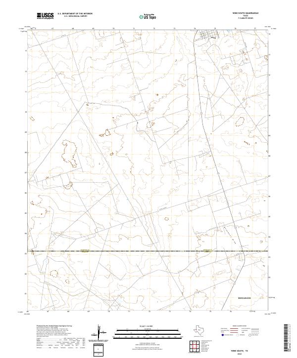
2022 Wink South
Winkler County, TX
2022 Y T Ranch
Winkler County, TX