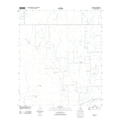
2012 Map of Kernan
USGS Topo · Published 2012About this map
The settlement of Kernan anchors the southeastern corner of this Beauregard Parish landscape, an area defined by extensive energy production in the early 21st century. The map reveals a dense network of petroleum infrastructure, including the Longville Oil Field, East Longville Oil Field, and the Cowpen Creek Oil and Gas Field. These industrial zones are interspersed with a complex drainage system of creeks and bayous such as Bull Bayou, Big Gully, and Wild Cow Cr.
Find a feature on this map
68 named features on this map. Tap any name to fly to it.
Don’t see what you’re looking for? This feature index may not catch every label — zoom into the map to look around manually.
Map Details
Editions of this 2012 Kernan Map
This is the sole edition of this map. No revisions or reprints were ever made.
Other maps of this area

1935 · Gordon
USGS Topo · 1:31,680

1935 · Gaytine
USGS Topo · 1:31,680

1935 · Longville
USGS Topo · 1:31,680

1947 · Singer
USGS Topo · 1:31,680

1947 · Gaytine
USGS Topo · 1:31,680

1947 · DeQuincy
USGS Topo · 1:31,680

1947 · Oretta
USGS Topo · 1:31,680

1947 · Kernan
USGS Topo · 1:31,680

1947 · Longville
USGS Topo · 1:31,680

1947 · Beckwith School
USGS Topo · 1:31,680