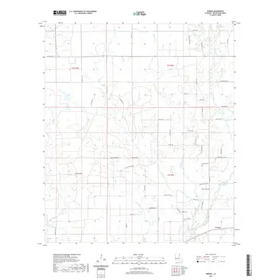
2020 Map of Kernan
USGS Topo · Published 2020About this map
Kernan sits in the southeastern corner of this Beauregard Parish survey, a landscape defined by an intricate network of waterways draining the Louisiana flatwoods. The area is characterized by numerous gullies and glades, such as Greenhead Gully and Mayhaw Glade, which intersect a rural road system often named for the families who settled this region. Roads like Rodney Cooley Rd, Esco Rigmaiden Rd, and Vernon Cooley Rd trace the path of local history and land ownership across the township lines of T5S and T6S.
Find a feature on this map
61 named features on this map. Tap any name to fly to it.
Don’t see what you’re looking for? This feature index may not catch every label — zoom into the map to look around manually.
Map Details
Editions of this 2020 Kernan Map
This is the sole edition of this map. No revisions or reprints were ever made.
Other maps of this area

1935 · Gordon
USGS Topo · 1:31,680

1935 · Gaytine
USGS Topo · 1:31,680

1935 · Longville
USGS Topo · 1:31,680

1947 · Singer
USGS Topo · 1:31,680

1947 · Gaytine
USGS Topo · 1:31,680

1947 · DeQuincy
USGS Topo · 1:31,680

1947 · Oretta
USGS Topo · 1:31,680

1947 · Kernan
USGS Topo · 1:31,680

1947 · Longville
USGS Topo · 1:31,680

1947 · Beckwith School
USGS Topo · 1:31,680